MyTopo
Ingram NW Wisconsin US Topo Map
Couldn't load pickup availability
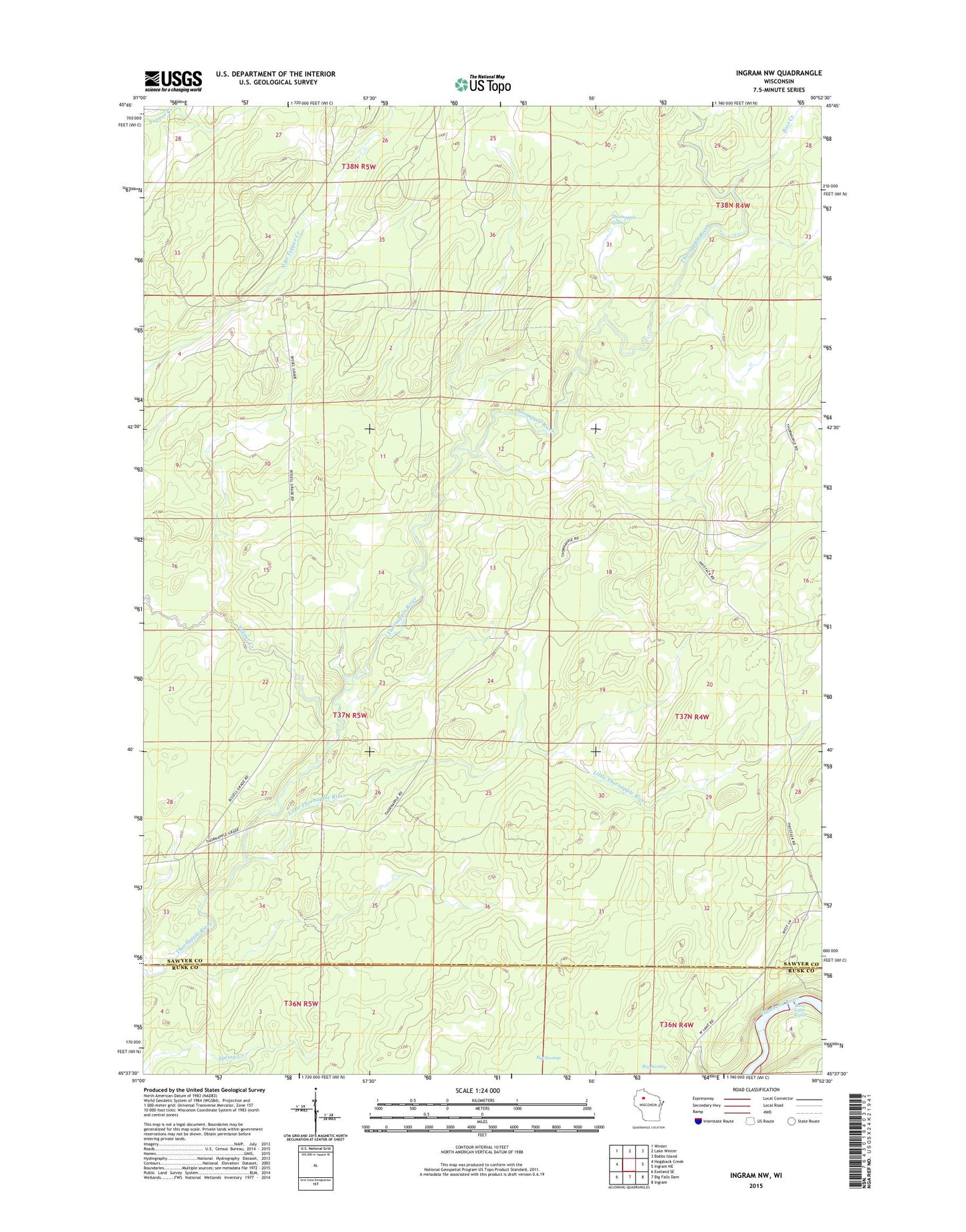
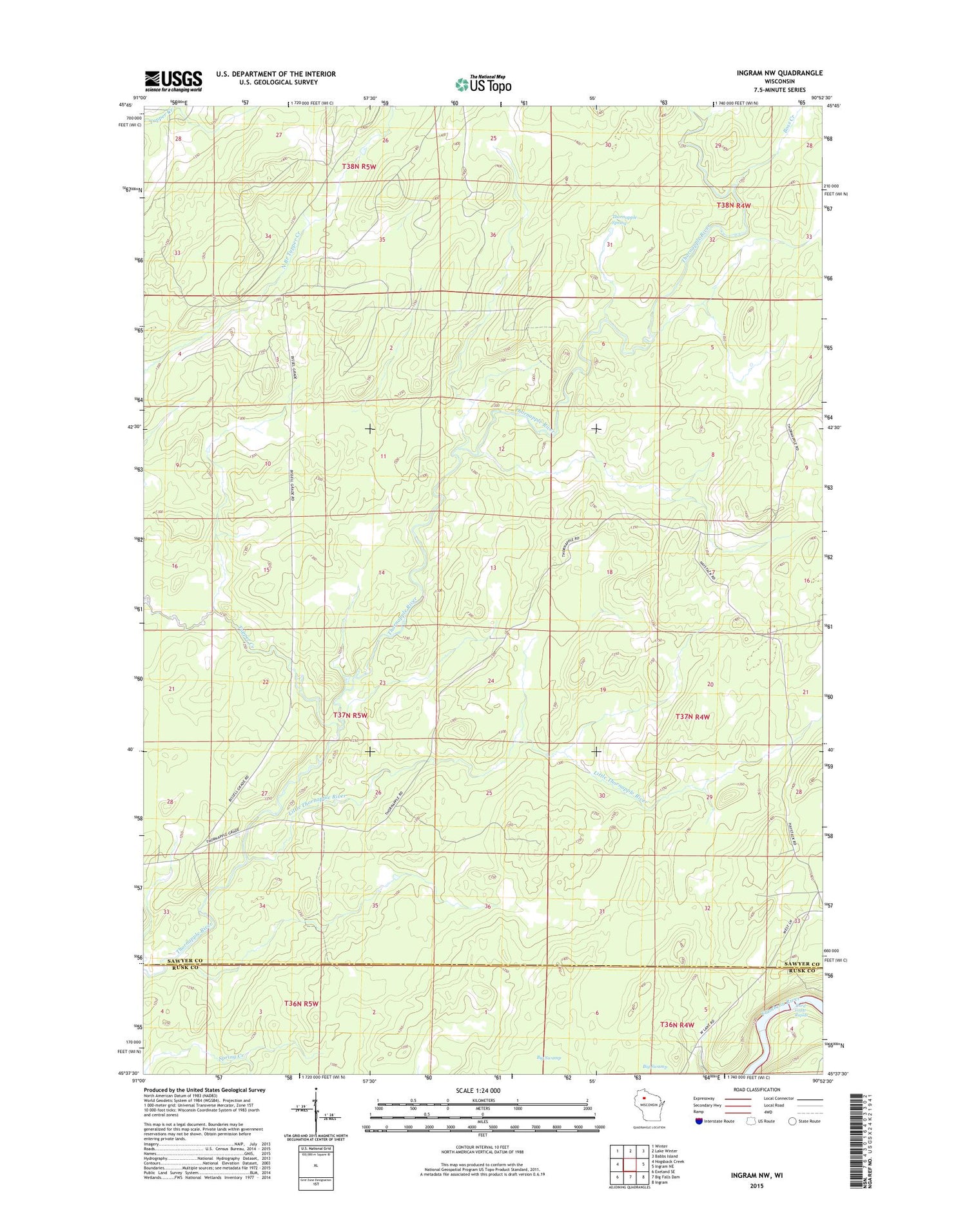
2018 topographic map quadrangle Ingram NW in the state of Wisconsin. Scale: 1:24000. Based on the newly updated USGS 7.5' US Topo map series, this map is in the following counties: Sawyer, Rusk. The map contains contour data, water features, and other items you are used to seeing on USGS maps, but also has updated roads and other features. This is the next generation of topographic maps. Printed on high-quality waterproof paper with UV fade-resistant inks.
Quads adjacent to this one:
West: Hogsback Creek
Northwest: Winter
North: Lake Winter
Northeast: Babbs Island
East: Ingram NE
Southeast: Ingram
South: Big Falls Dam
Southwest: Exeland SE
Contains the following named places: Boss Creek, Hay Stack Corner, Little Thornapple River, Old Weilep Camp, Silvernail State Wildlife Management Area, Third Cedar Rapids, Thornapple Spring, Tupper Creek