
MyTopo
Lake Eau Claire West Wisconsin US Topo Map
Couldn't load pickup availability
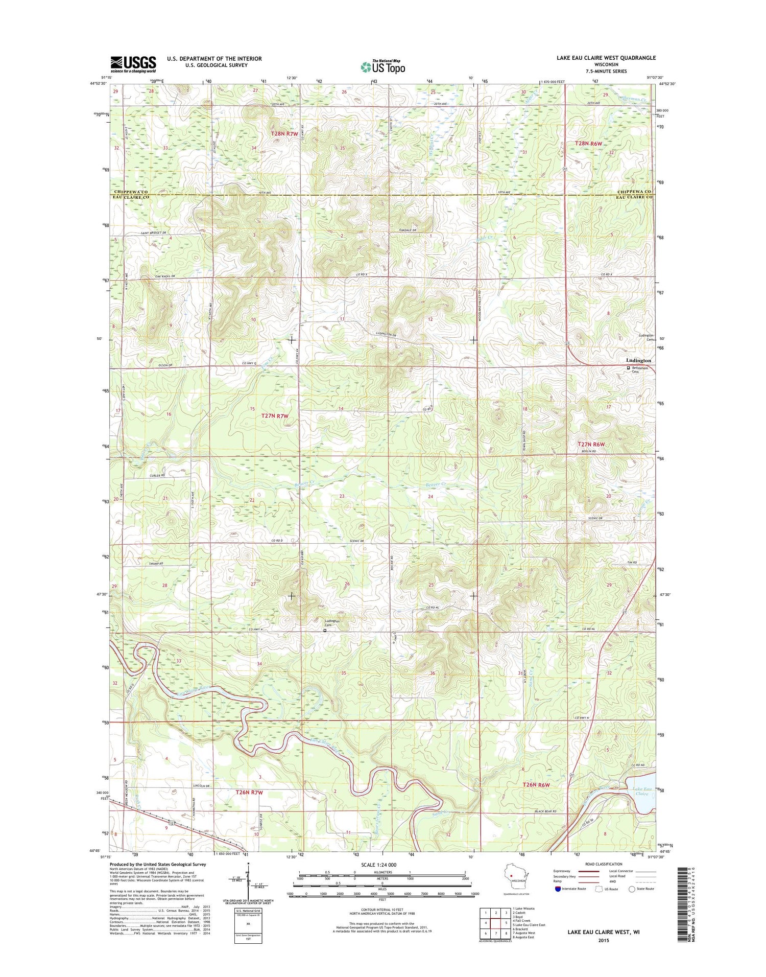
2018 topographic map quadrangle Lake Eau Claire West in the state of Wisconsin. Scale: 1:24000. Based on the newly updated USGS 7.5' US Topo map series, this map is in the following counties: Eau Claire, Chippewa. The map contains contour data, water features, and other items you are used to seeing on USGS maps, but also has updated roads and other features. This is the next generation of topographic maps. Printed on high-quality waterproof paper with UV fade-resistant inks.
Quads adjacent to this one:
West: Fall Creek
Northwest: Lake Wissota
North: Cadott
Northeast: Boyd
East: Lake Eau Claire East
Southeast: Augusta East
South: Augusta West
Southwest: Brackett
Contains the following named places: Bears Grass Creek, Bethlehem Cemetery, Bethlehem Church, Clay Loam School, Eau Claire River 2WP224 Dam, Fairview School, Five K Farms, Green Meadow School, Lake Eau Claire 605, Ludington, Ludington Cemetery, Oak Knoll School, Oak Ridge School, Pine Creek, Pine Grove School, Pineview School, Rush Creek, Sand Creek, Town of Ludington, Weltzin Farm, Woodland Valley School, Zion Church


