MyTopo
Marytown Wisconsin US Topo Map
Couldn't load pickup availability
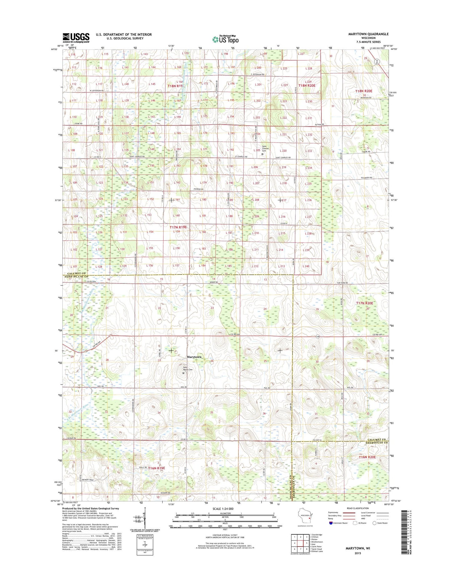
2018 topographic map quadrangle Marytown in the state of Wisconsin. Scale: 1:24000. Based on the newly updated USGS 7.5' US Topo map series, this map is in the following counties: Calumet, Fond du Lac, Sheboygan. The map contains contour data, water features, and other items you are used to seeing on USGS maps, but also has updated roads and other features. This is the next generation of topographic maps. Printed on high-quality waterproof paper with UV fade-resistant inks.
Quads adjacent to this one:
West: Brothertown
Northwest: Stockbridge
North: Chilton
Northeast: Potter
East: Kiel
Southeast: Elkhart Lake
South: Saint Cloud
Southwest: Saint Peter
Contains the following named places: Buechel Quarry, Charlesburg, Chilton Quarry, Darling School, Jefferson School, Marytown, Saint Charles Cemetery, Saint Marys Cemetery, Toronto Farms