MyTopo
Odanah Wisconsin US Topo Map
Couldn't load pickup availability
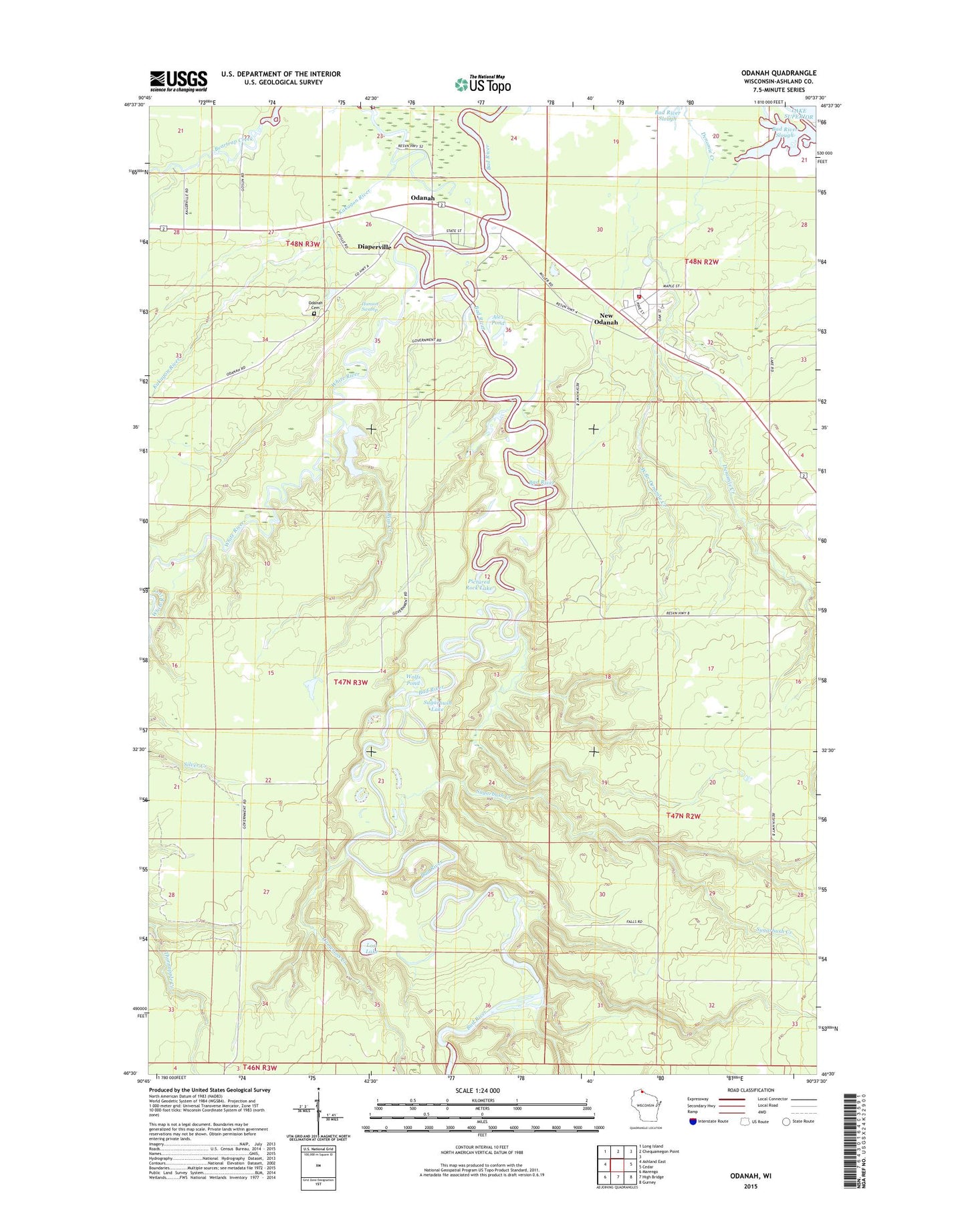
2018 topographic map quadrangle Odanah in the state of Wisconsin. Scale: 1:24000. Based on the newly updated USGS 7.5' US Topo map series, this map is in the following counties: Ashland. The map contains contour data, water features, and other items you are used to seeing on USGS maps, but also has updated roads and other features. This is the next generation of topographic maps. Printed on high-quality waterproof paper with UV fade-resistant inks.
Quads adjacent to this one:
West: Ashland East
Northwest: Long Island
North: Chequamegon Point
East: Cedar
Southeast: Gurney
South: High Bridge
Southwest: Marengo
Contains the following named places: Alex Pond, Bad River Fire Department, Bad River Police Department, Bad River Reservation, Camerons Creek, Diaperville Census Designated Place, Hanson Swamp, Honest John Lake, Lost Lake, New Odanah Census Designated Place, Odanah, Odanah Cemetery, Odanah Census Designated Place, Odanah Church, Odanah Post Office, Pictured Rock Lake, Rins Creek, Sugarbush Creek, Sugarbush Lake, Town of Sanborn, West Branch Denomie Creek, White River, Wolfs Pond, ZIP Code: 54861