MyTopo
Cedar Wisconsin US Topo Map
Couldn't load pickup availability
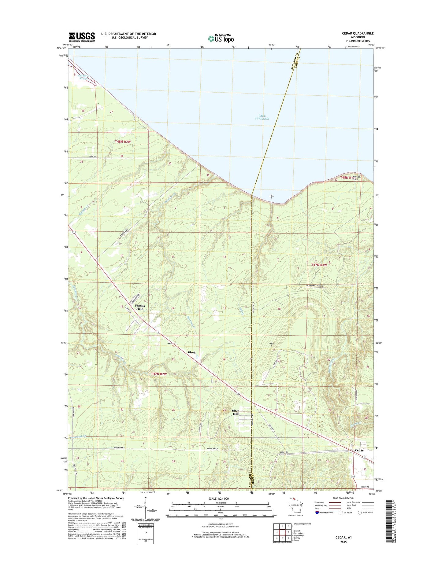
2022 topographic map quadrangle Cedar in the state of Wisconsin. Scale: 1:24000. Based on the newly updated USGS 7.5' US Topo map series, this map is in the following counties: Ashland, Iron. The map contains contour data, water features, and other items you are used to seeing on USGS maps, but also has updated roads and other features. This is the next generation of topographic maps. Printed on high-quality waterproof paper with UV fade-resistant inks.
Quads adjacent to this one:
West: Odanah
Northwest: Chequamegon Point
East: Oronto Bay
Southeast: Saxon
South: Gurney
Southwest: High Bridge
This map covers the same area as the classic USGS quad with code o46090e5.
Contains the following named places: Bell Creek, Birch, Birch Hill Census Designated Place, Birch Ridge Lookout Tower, Franks Field Census Designated Place, Marble Point, Morrison Creek, Nawago Creek, Waverly Campground