MyTopo
Chequamegon Point Wisconsin US Topo Map
Couldn't load pickup availability
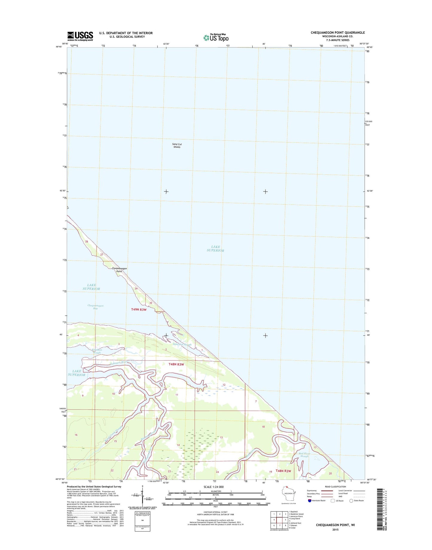
2022 topographic map quadrangle Chequamegon Point in the state of Wisconsin. Scale: 1:24000. Based on the newly updated USGS 7.5' US Topo map series, this map is in the following counties: Ashland. The map contains contour data, water features, and other items you are used to seeing on USGS maps, but also has updated roads and other features. This is the next generation of topographic maps. Printed on high-quality waterproof paper with UV fade-resistant inks.
Quads adjacent to this one:
West: Long Island
Northwest: Bayfield
North: Madeline Island
Northeast: Amnicon Point
Southeast: Cedar
South: Odanah
Southwest: Ashland East
This map covers the same area as the classic USGS quad with code o46090f6.
Contains the following named places: Bad River, Bad River Slough, Beartrap Creek, Denomie Creek, Kakagon River, Kakagon Slough, Sand Cut Shoals, Sand Cut Slough, Wood Creek Slough