MyTopo
Turntable Creek Wisconsin US Topo Map
Couldn't load pickup availability
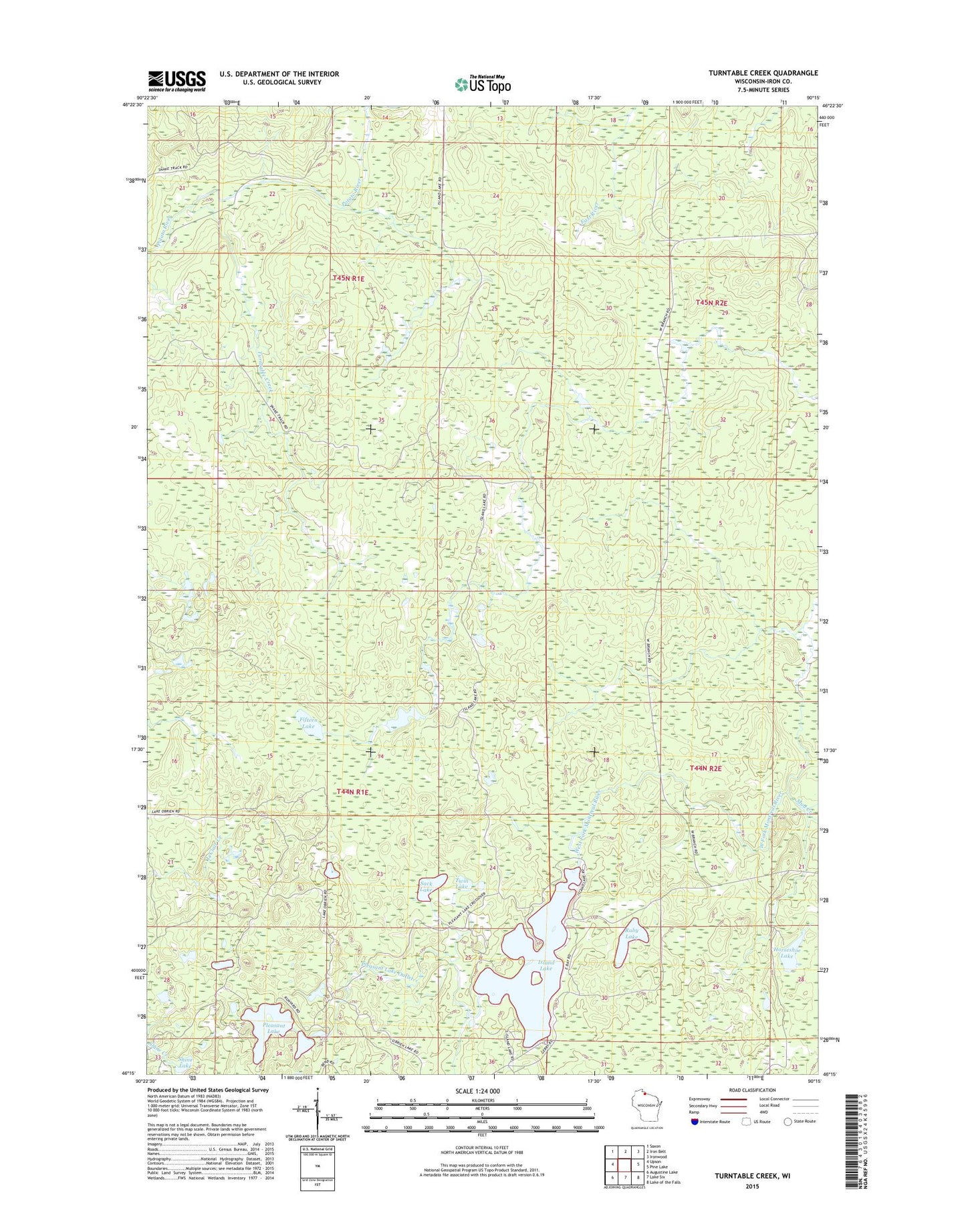
2022 topographic map quadrangle Turntable Creek in the state of Wisconsin. Scale: 1:24000. Based on the newly updated USGS 7.5' US Topo map series, this map is in the following counties: Iron. The map contains contour data, water features, and other items you are used to seeing on USGS maps, but also has updated roads and other features. This is the next generation of topographic maps. Printed on high-quality waterproof paper with UV fade-resistant inks.
Quads adjacent to this one:
West: Upson
Northwest: Saxon
North: Iron Belt
Northeast: Ironwood
East: Pine Lake
Southeast: Lake of the Falls
South: Lake Six
Southwest: Augustine Lake
This map covers the same area as the classic USGS quad with code o46090c3.
Contains the following named places: Fifteen Lake, Horseshoe Lake, Iron County, Island Lake, Island Lake Fire Tower, Kerstein Camp, Mud Creek, Pleasant Lake, Pleasant Lake Outlet, Ruby Lake, Sack Lake, Shine Lake, Town of Knight, Town of Pence, Turntable Creek, Twin Lake, ZIP Codes: 54536, 54550