MyTopo
Albin Wyoming US Topo Map
Couldn't load pickup availability
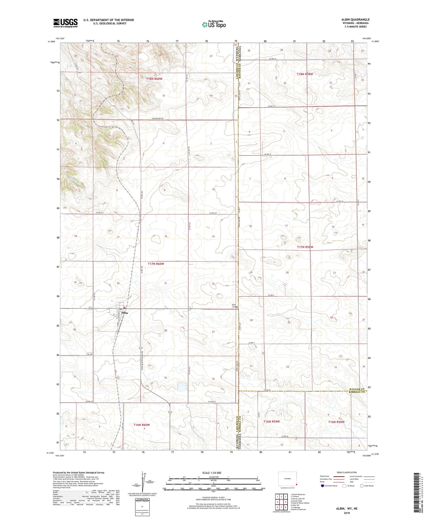
2021 topographic map quadrangle Albin in the state of Wyoming. Scale: 1:24000. Based on the newly updated USGS 7.5' US Topo map series, this map is in the following counties: Laramie, Banner, Kimball. The map contains contour data, water features, and other items you are used to seeing on USGS maps, but also has updated roads and other features. This is the next generation of topographic maps. Printed on high-quality waterproof paper with UV fade-resistant inks.
Quads adjacent to this one:
West: Gurney Peak
Northwest: Petsch Reservoir
North: Tremain
Northeast: Murray Lake SW
East: Head of Rocky Hollow
Southeast: North of Bushnell
South: Lindbergh
Southwest: Albin SW
This map covers the same area as the classic USGS quad with code o41104d1.
Contains the following named places: Albin, Albin Cemetery, Albin Elementary School, Albin High School, Albin Junior High School, Albin Post Office, Laramie County Fire District 3, Town of Albin