MyTopo
Black Spring Reservoir Wyoming US Topo Map
Couldn't load pickup availability
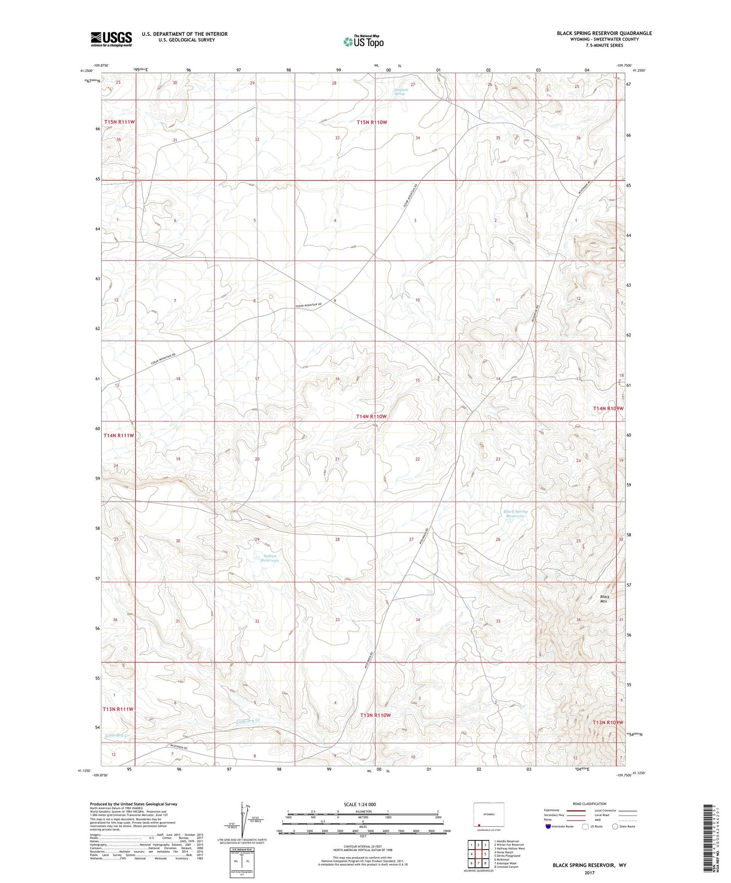
2021 topographic map quadrangle Black Spring Reservoir in the state of Wyoming. Scale: 1:24000. Based on the newly updated USGS 7.5' US Topo map series, this map is in the following counties: Sweetwater. The map contains contour data, water features, and other items you are used to seeing on USGS maps, but also has updated roads and other features. This is the next generation of topographic maps. Printed on high-quality waterproof paper with UV fade-resistant inks.
Quads adjacent to this one:
West: Horse Ranch
Northwest: Needle Reservoir
North: Winter Fat Reservoir
Northeast: Halfway Hollow West
East: Devils Playground
Southeast: Linwood Canyon
South: Antelope Wash
Southwest: McKinnon
Contains the following named places: Black Mountain, Black Spring Reservoir, Indian Reservoir, Soaphole Spring, Twin Buttes