MyTopo
Needle Reservoir Wyoming US Topo Map
Couldn't load pickup availability
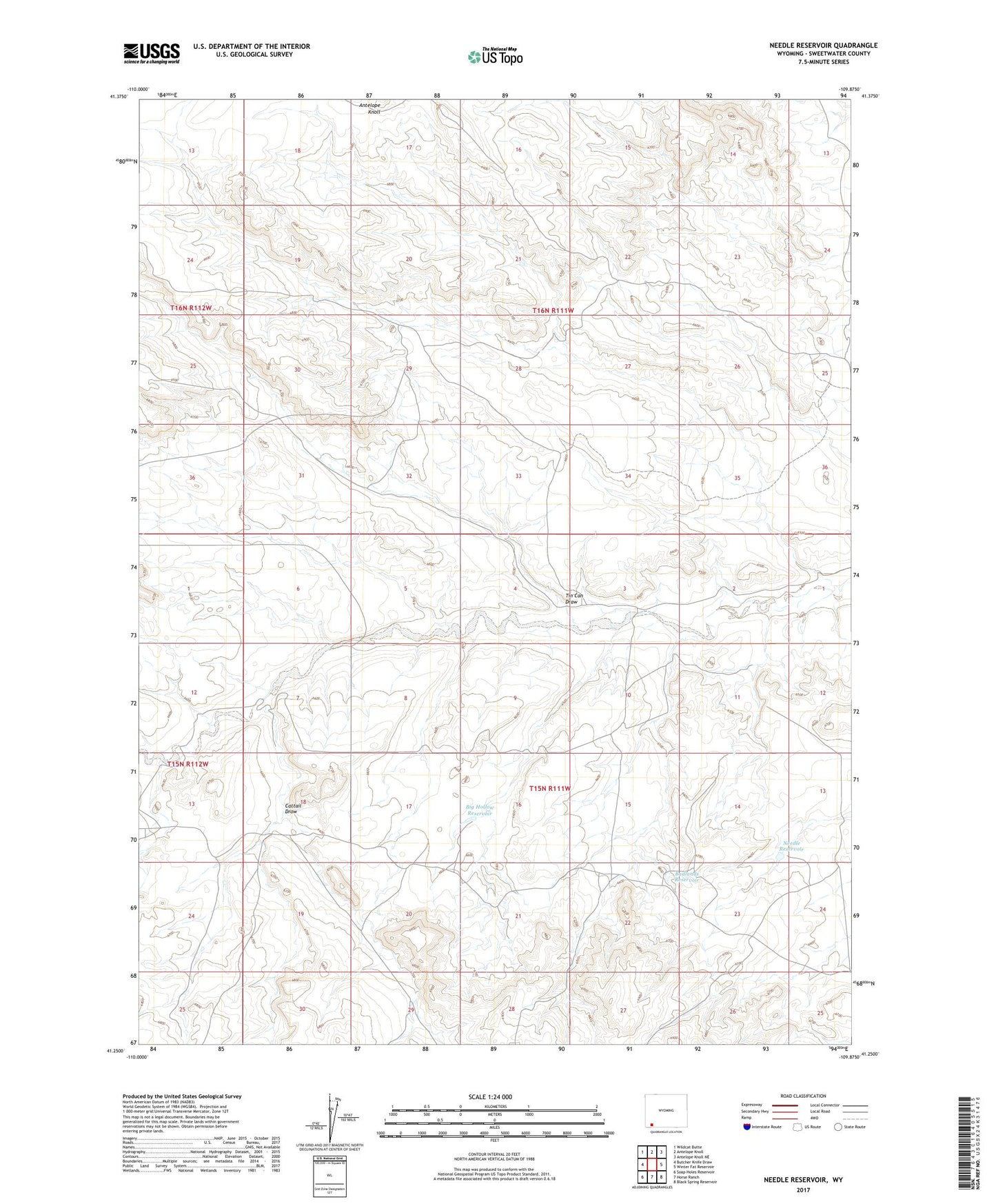
2021 topographic map quadrangle Needle Reservoir in the state of Wyoming. Scale: 1:24000. Based on the newly updated USGS 7.5' US Topo map series, this map is in the following counties: Sweetwater. The map contains contour data, water features, and other items you are used to seeing on USGS maps, but also has updated roads and other features. This is the next generation of topographic maps. Printed on high-quality waterproof paper with UV fade-resistant inks.
Quads adjacent to this one:
West: Butcher Knife Draw
Northwest: Wildcat Butte
North: Antelope Knoll
Northeast: Antelope Knoll NE
East: Winter Fat Reservoir
Southeast: Black Spring Reservoir
South: Horse Ranch
Southwest: Soap Holes Reservoir
This map covers the same area as the classic USGS quad with code o41109c8.
Contains the following named places: Antelope Knoll, Badlands Reservoir, Big Hollow Reservoir, Cattail Draw, Needle Reservoir, Phillips Petroleum-Cedar Mountain Number One Mine, Staley Corral, Tin Can Draw