
MyTopo
Bowen Flat Wyoming US Topo Map
Couldn't load pickup availability
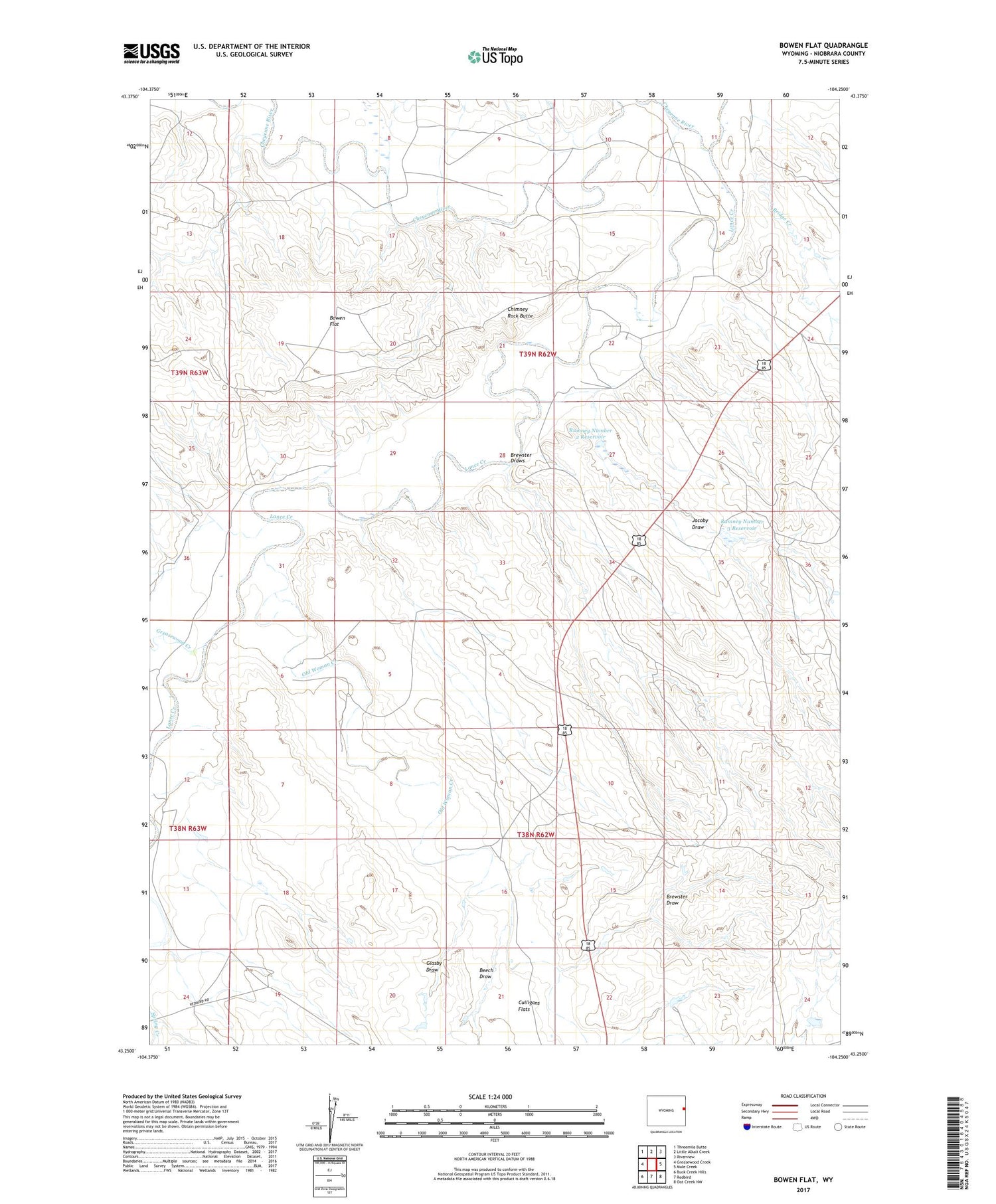
2021 topographic map quadrangle Bowen Flat in the state of Wyoming. Scale: 1:24000. Based on the newly updated USGS 7.5' US Topo map series, this map is in the following counties: Niobrara. The map contains contour data, water features, and other items you are used to seeing on USGS maps, but also has updated roads and other features. This is the next generation of topographic maps. Printed on high-quality waterproof paper with UV fade-resistant inks.
Quads adjacent to this one:
West: Greasewood Creek
Northwest: Threemile Butte
North: Little Alkali Creek
Northeast: Riverview
East: Mule Creek
Southeast: Oat Creek NW
South: Redbird
Southwest: Buck Creek Hills
Contains the following named places: Beech Draw, Bowen Flat, Brewster Draw, Brewster Draws, Bridge Creek, Chimney Rock Butte, Culligans Flats, Glasby Draw, Greasewood Creek, Jacoby Draw, Lance Creek, Old Woman Creek, Rumney Number 2 Dam, Rumney Number 2 Reservoir, Rumney Number 3 Dam, Rumney Number 3 Reservoir


