MyTopo
Box Elder Draw Wyoming US Topo Map
Couldn't load pickup availability
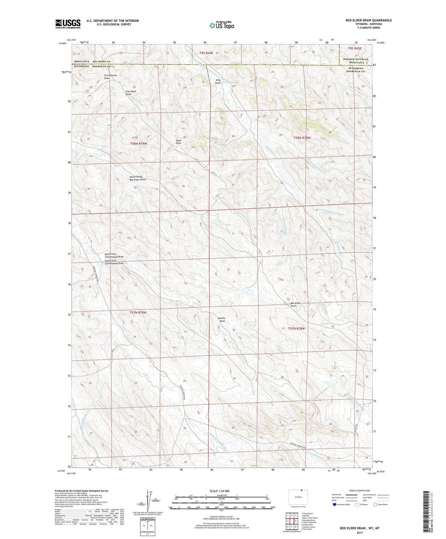
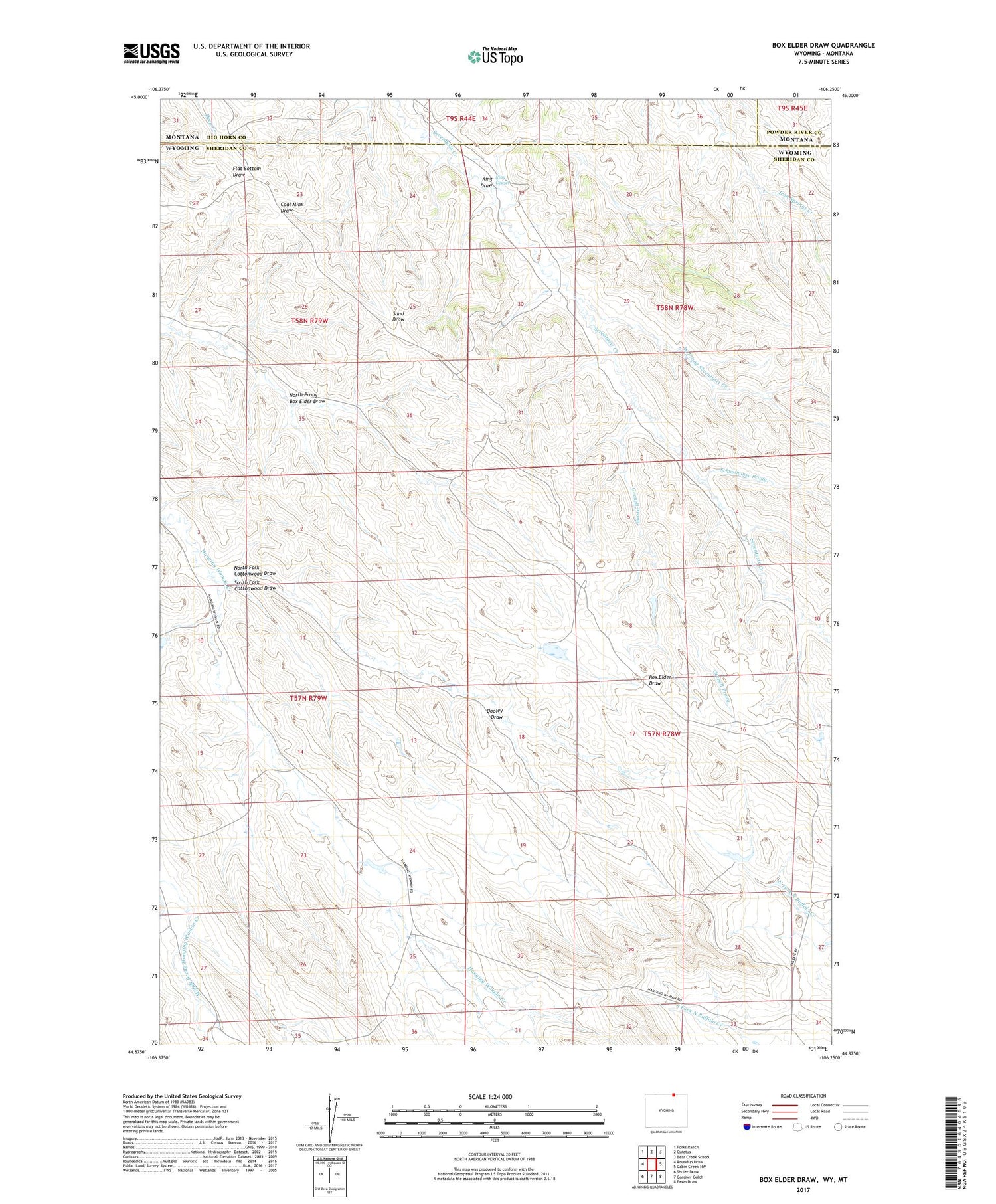
2021 topographic map quadrangle Box Elder Draw in the state of Wyoming. Scale: 1:24000. Based on the newly updated USGS 7.5' US Topo map series, this map is in the following counties: Sheridan, Big Horn, Powder River. The map contains contour data, water features, and other items you are used to seeing on USGS maps, but also has updated roads and other features. This is the next generation of topographic maps. Printed on high-quality waterproof paper with UV fade-resistant inks.
Quads adjacent to this one:
West: Roundup Draw
Northwest: Forks Ranch
North: Quietus
Northeast: Bear Creek School
East: Cabin Creek NW
Southeast: Fawn Draw
South: Gardner Gulch
Southwest: Shuler Draw
Contains the following named places: Dooley Draw, Grenell Prong, King Draw, King Geyser, North Fork Cottonwood Draw, North Prong Box Elder Draw, Schoolhouse Prong, South Fork Cottonwood Draw, West Prong Seventysix Creek