MyTopo
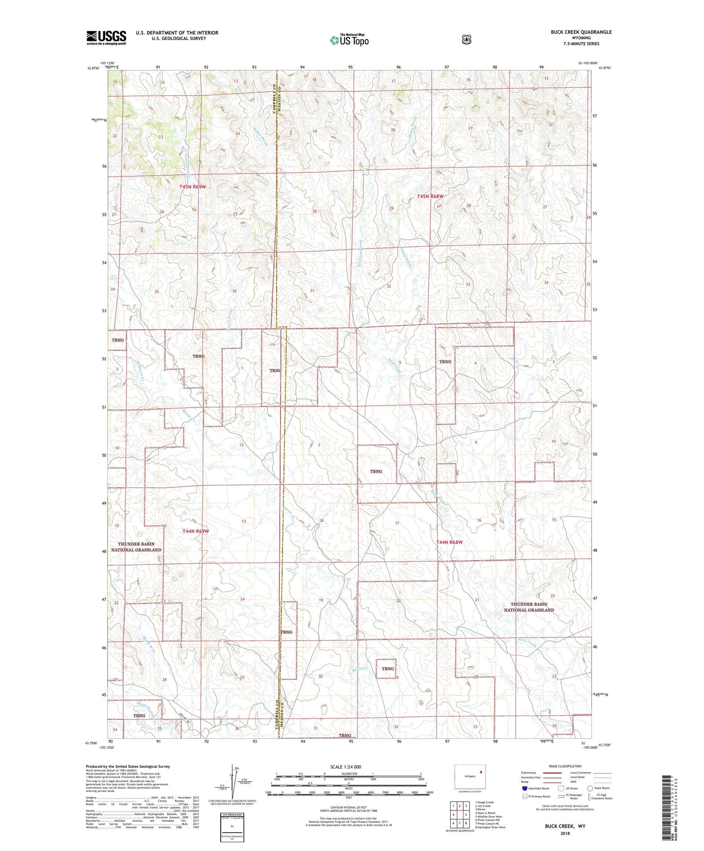
Buck Creek Wyoming US Topo Map
Couldn't load pickup availability
Also explore the Buck Creek Forest Service Topo of this same quad for updated USFS data
2021 topographic map quadrangle Buck Creek in the state of Wyoming. Scale: 1:24000. Based on the newly updated USGS 7.5' US Topo map series, this map is in the following counties: Weston, Campbell. The map contains contour data, water features, and other items you are used to seeing on USGS maps, but also has updated roads and other features. This is the next generation of topographic maps. Printed on high-quality waterproof paper with UV fade-resistant inks.
Quads adjacent to this one:
West: Open A Ranch
Northwest: Rough Creek
North: Jim Creek
Northeast: Raven
East: Wildlife Draw West
Southeast: Darlington Draw West
South: Piney Canyon NE
Southwest: Piney Canyon NW
This map covers the same area as the classic USGS quad with code o43105g1.
Contains the following named places: Baker Prong, Big R W Creek, Haley Prong, Newel Prong, Peterson Prong, West Bacon Creek