MyTopo
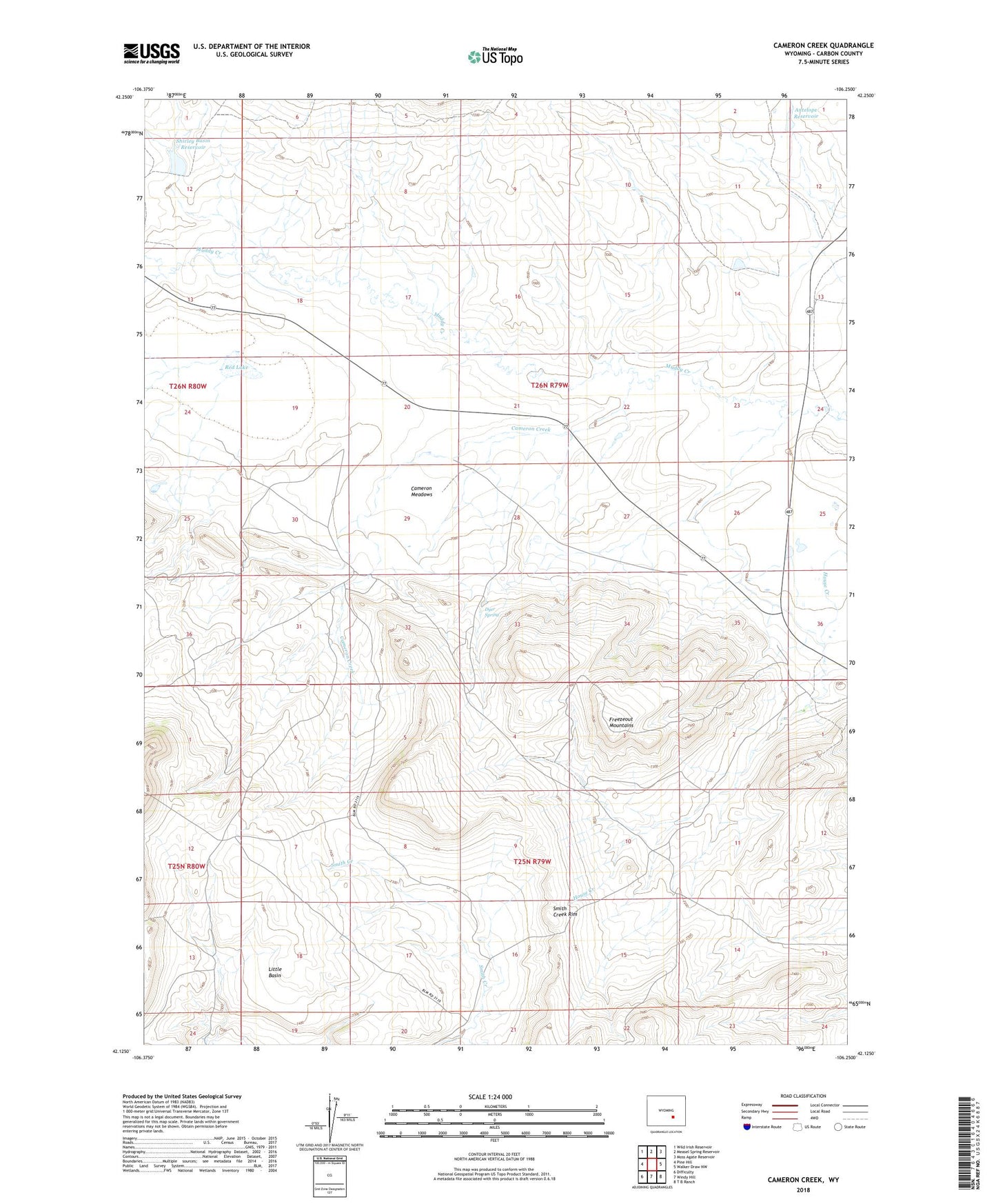
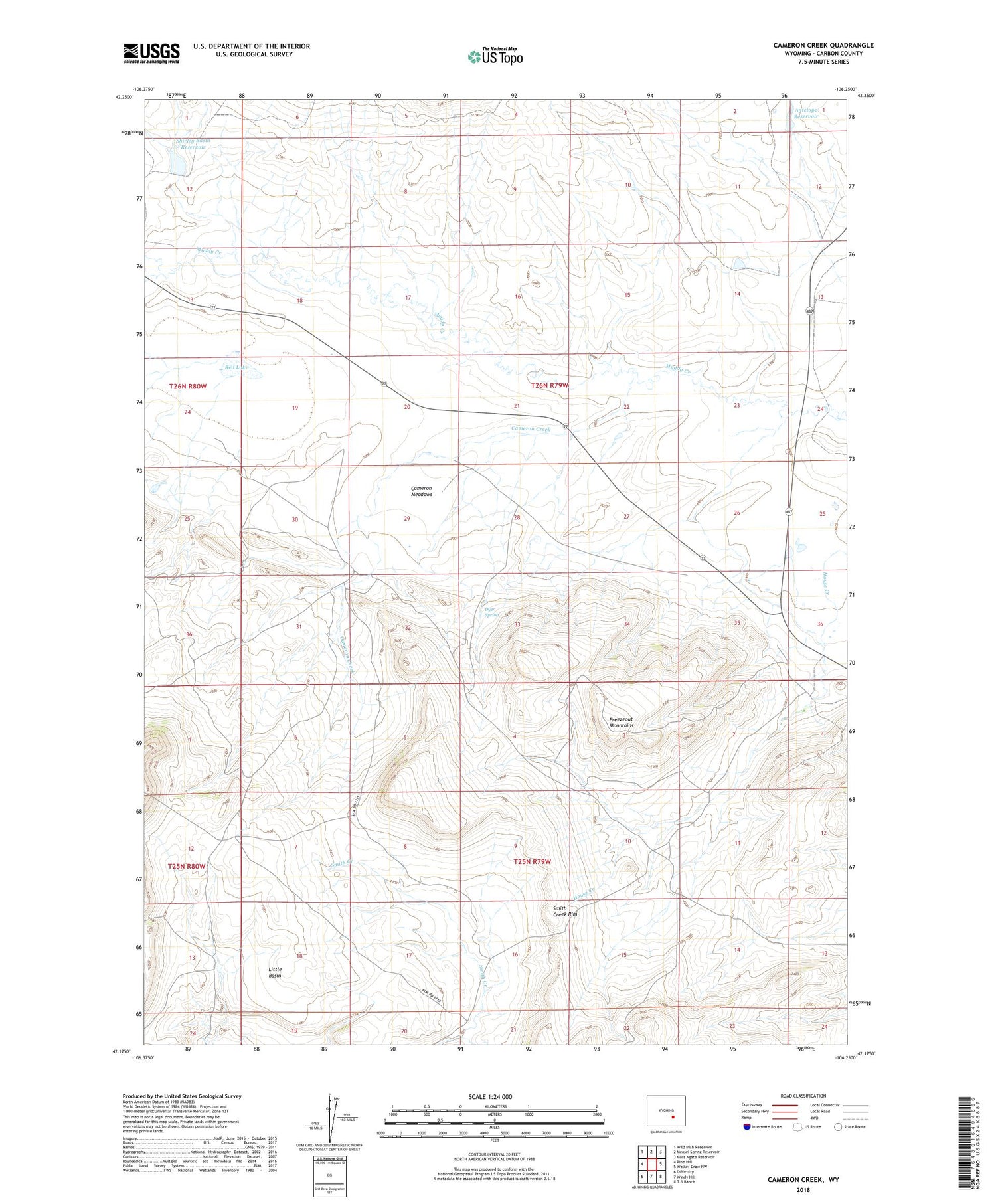
Cameron Creek Wyoming US Topo Map
Couldn't load pickup availability
2021 topographic map quadrangle Cameron Creek in the state of Wyoming. Scale: 1:24000. Based on the newly updated USGS 7.5' US Topo map series, this map is in the following counties: Carbon. The map contains contour data, water features, and other items you are used to seeing on USGS maps, but also has updated roads and other features. This is the next generation of topographic maps. Printed on high-quality waterproof paper with UV fade-resistant inks.
Quads adjacent to this one:
West: Pine Hill
Northwest: Wild Irish Reservoir
North: Measel Spring Reservoir
Northeast: Moss Agate Reservoir
East: Walker Draw NW
Southeast: T B Ranch
South: Windy Hill
Southwest: Difficulty
Contains the following named places: Antelope Dam, Antelope Reservoir, Cameron Creek, Cameron Meadows, Dyer Spring, Freezeout Hills Area Mine, Freezeout Hills Number Two Mine, Red Lake, Shamrock Ranch, Shirley Basin Reservoir, Shirley Basin Reservoir Dam, Smith Creek Rim, Temperley Homestead