MyTopo
Windy Hill Wyoming US Topo Map
Couldn't load pickup availability
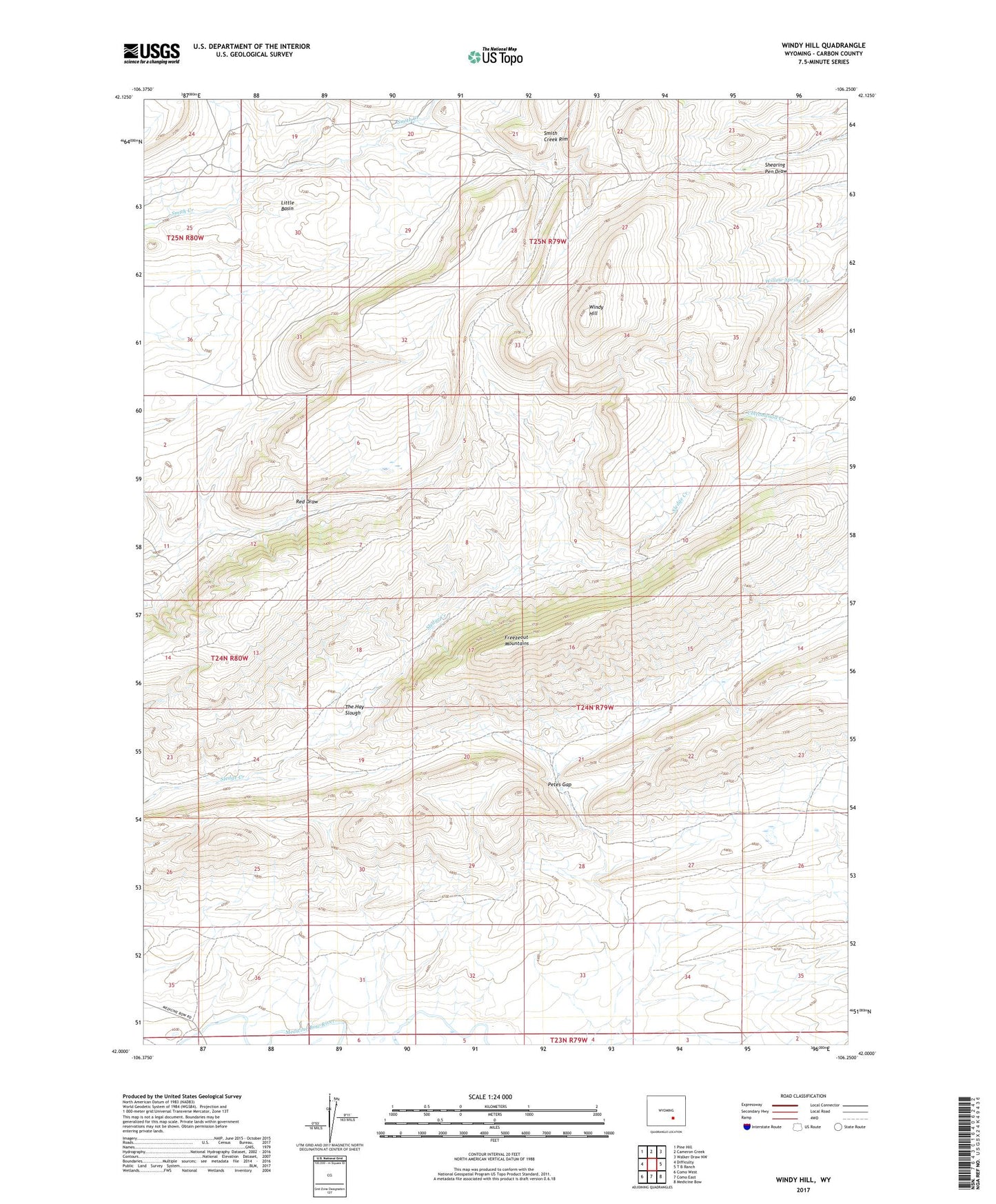
2021 topographic map quadrangle Windy Hill in the state of Wyoming. Scale: 1:24000. Based on the newly updated USGS 7.5' US Topo map series, this map is in the following counties: Carbon. The map contains contour data, water features, and other items you are used to seeing on USGS maps, but also has updated roads and other features. This is the next generation of topographic maps. Printed on high-quality waterproof paper with UV fade-resistant inks.
Quads adjacent to this one:
West: Difficulty
Northwest: Pine Hill
North: Cameron Creek
Northeast: Walker Draw NW
East: T B Ranch
Southeast: Medicine Bow
South: Como East
Southwest: Como West
This map covers the same area as the classic USGS quad with code o42106a3.
Contains the following named places: Comstock Homestead, Freezeout-Seminoe Area Mine, Freezeout-Seminoe Area Three Mine, Freezeout-Seminoe Area Two Mine, Petes Gap, The Hay Slough, Windy Hill