MyTopo
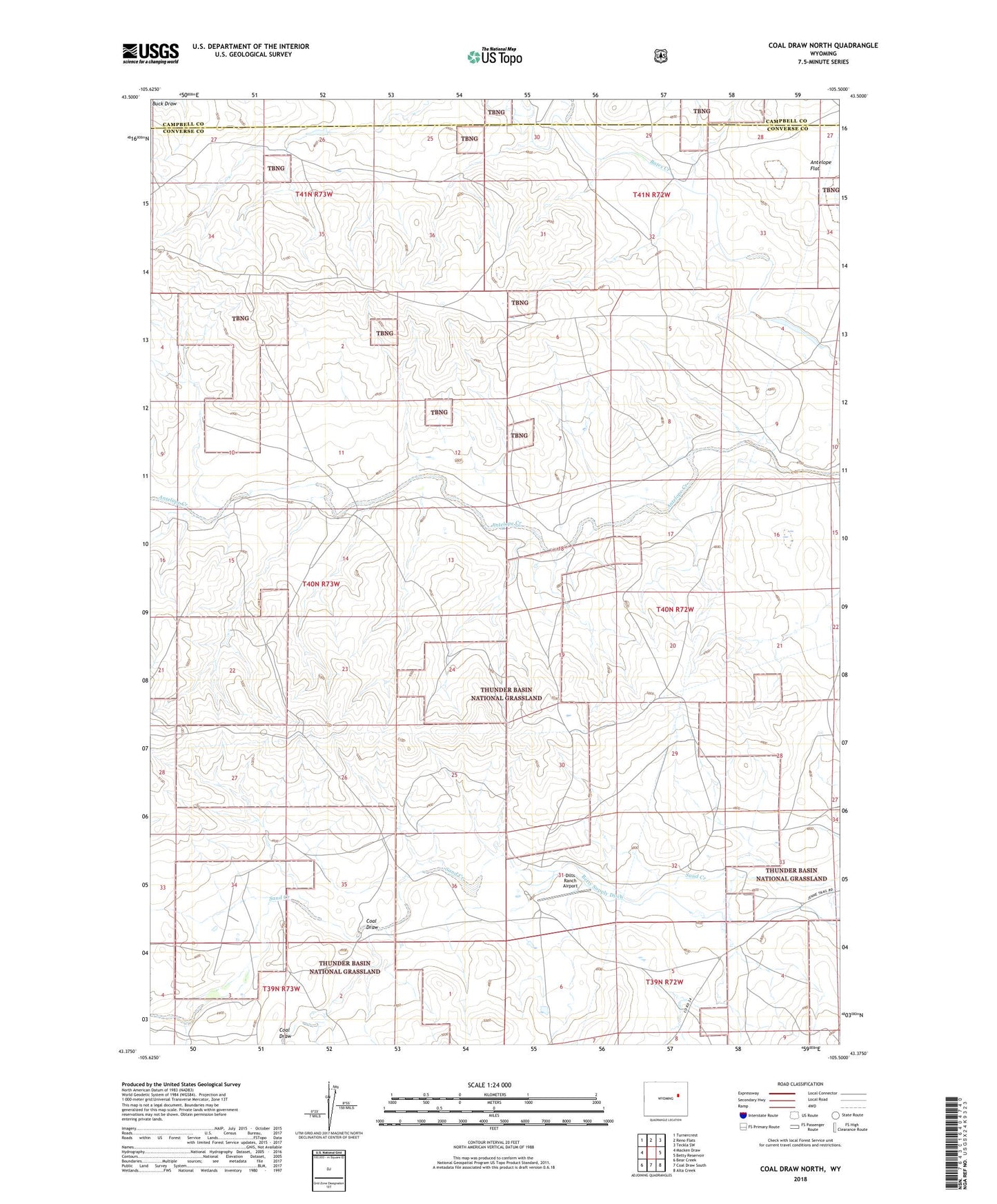
Coal Draw North Wyoming US Topo Map
Couldn't load pickup availability
Also explore the Coal Draw North Forest Service Topo of this same quad for updated USFS data
2021 topographic map quadrangle Coal Draw North in the state of Wyoming. Scale: 1:24000. Based on the newly updated USGS 7.5' US Topo map series, this map is in the following counties: Converse, Campbell. The map contains contour data, water features, and other items you are used to seeing on USGS maps, but also has updated roads and other features. This is the next generation of topographic maps. Printed on high-quality waterproof paper with UV fade-resistant inks.
Quads adjacent to this one:
West: Macken Draw
Northwest: Turnercrest
North: Reno Flats
Northeast: Teckla SW
East: Betty Reservoir
Southeast: Alta Creek
South: Coal Draw South
Southwest: Bear Creek
This map covers the same area as the classic USGS quad with code o43105d5.
Contains the following named places: Coal Draw, Dilts Ranch Airport, Dilts School, Jenne Ranch, Little Bates Creek, Spracklen Ranch, Stevic Ranch