MyTopo
Coleman Butte Wyoming US Topo Map
Couldn't load pickup availability
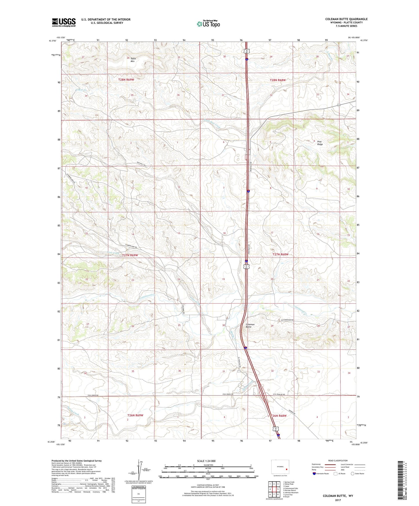
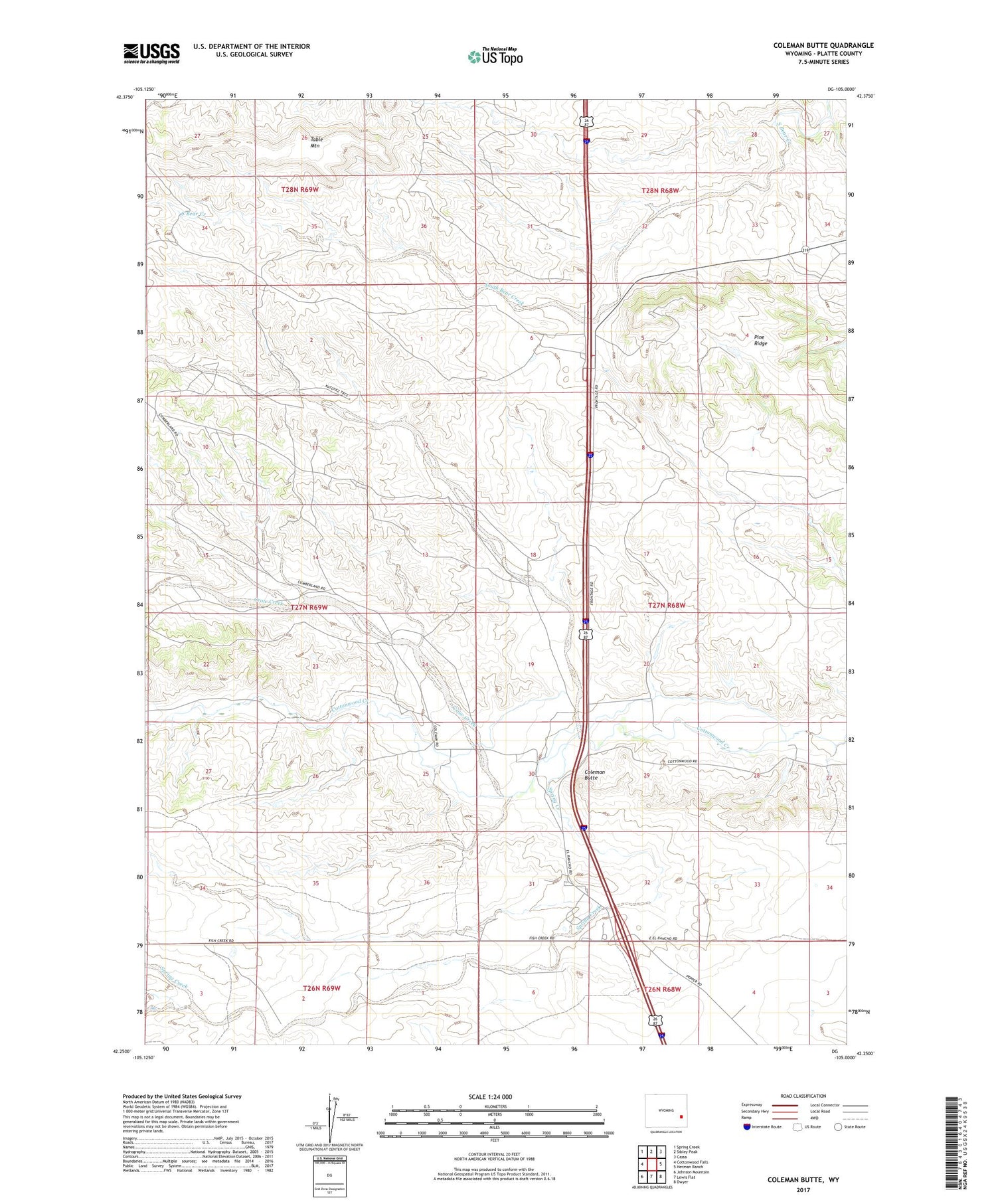
2021 topographic map quadrangle Coleman Butte in the state of Wyoming. Scale: 1:24000. Based on the newly updated USGS 7.5' US Topo map series, this map is in the following counties: Platte. The map contains contour data, water features, and other items you are used to seeing on USGS maps, but also has updated roads and other features. This is the next generation of topographic maps. Printed on high-quality waterproof paper with UV fade-resistant inks.
Quads adjacent to this one:
West: Cottonwood Falls
Northwest: Spring Creek
North: Sibley Peak
Northeast: Cassa
East: Herman Ranch
Southeast: Dwyer
South: Lewis Flat
Southwest: Johnson Mountain
Contains the following named places: Adams Ranch, Bowman Ranch, Coleman Butte, Cottonwood Community Hall, Crow Creek, El Rancho, El Rancho Census Designated Place, Fletcher Ranch, H B Coleman Ranch, Harry Coleman Ranch, M L Coleman Ranch, Pine Ridge, Spring Creek, Table Mountain, Vermilyea Ranch, Willadsen Ranch, Wilson Ranch