MyTopo
Spring Creek Wyoming US Topo Map
Couldn't load pickup availability
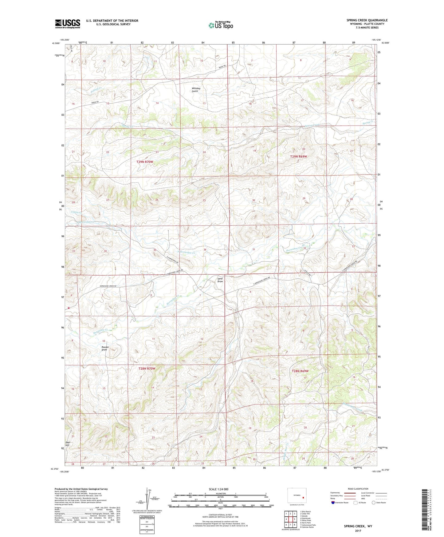
2021 topographic map quadrangle Spring Creek in the state of Wyoming. Scale: 1:24000. Based on the newly updated USGS 7.5' US Topo map series, this map is in the following counties: Platte. The map contains contour data, water features, and other items you are used to seeing on USGS maps, but also has updated roads and other features. This is the next generation of topographic maps. Printed on high-quality waterproof paper with UV fade-resistant inks.
Quads adjacent to this one:
West: Esterbrook
Northwest: Dilts Ranch
North: Cedar Hill
Northeast: Glendo
East: Sibley Peak
Southeast: Coleman Butte
South: Cottonwood Falls
Southwest: Harris Park
This map covers the same area as the classic USGS quad with code o42105d2.
Contains the following named places: Cassa Area Mine, Coyote Creek, Deer Hill, North Horseshoe Creek, Platte County Firefighters - Glendo Rural Fire Zone 4, Reeder Draw, Sand Draw