MyTopo
Dead Horse Lake Wyoming US Topo Map
Couldn't load pickup availability
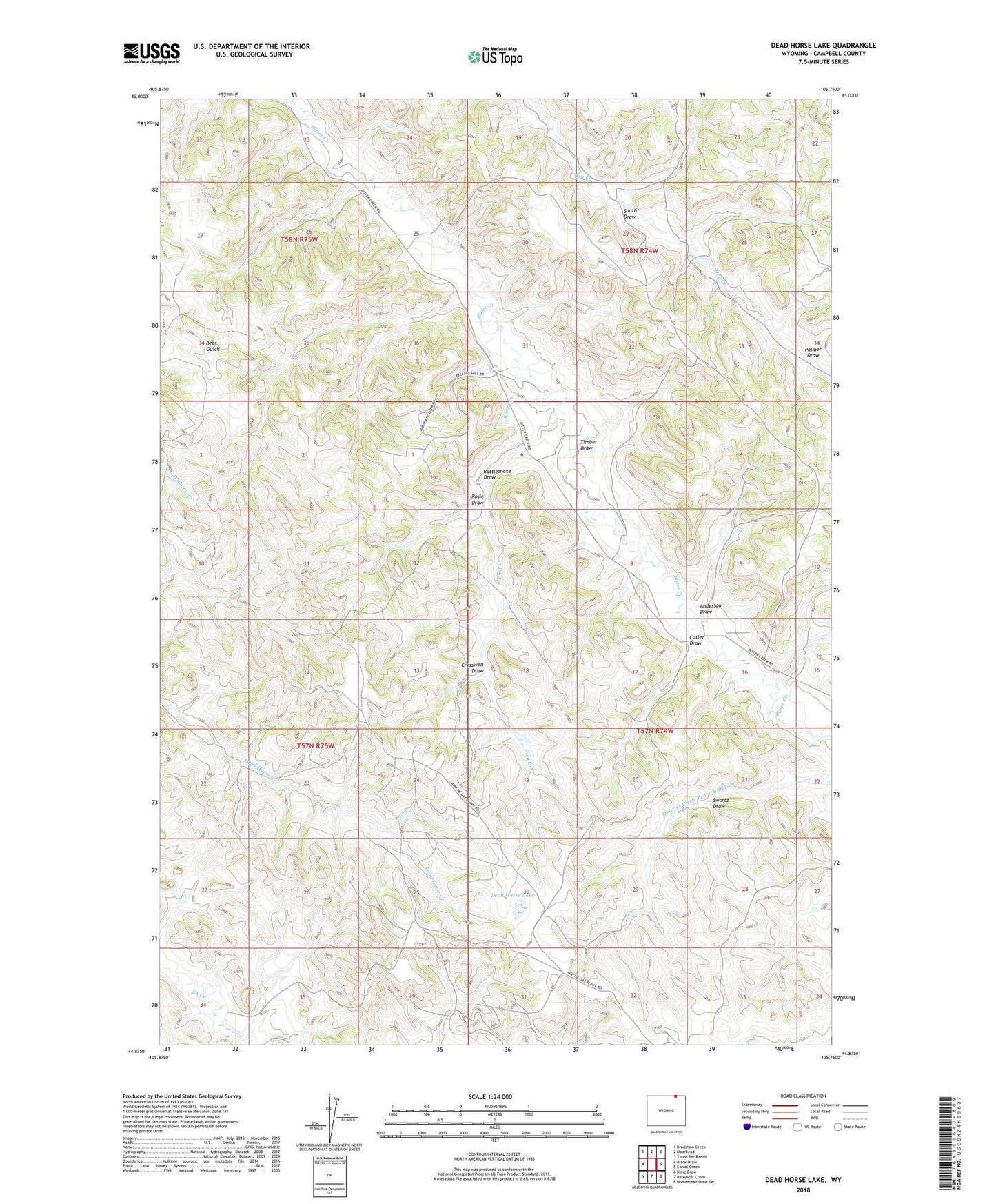
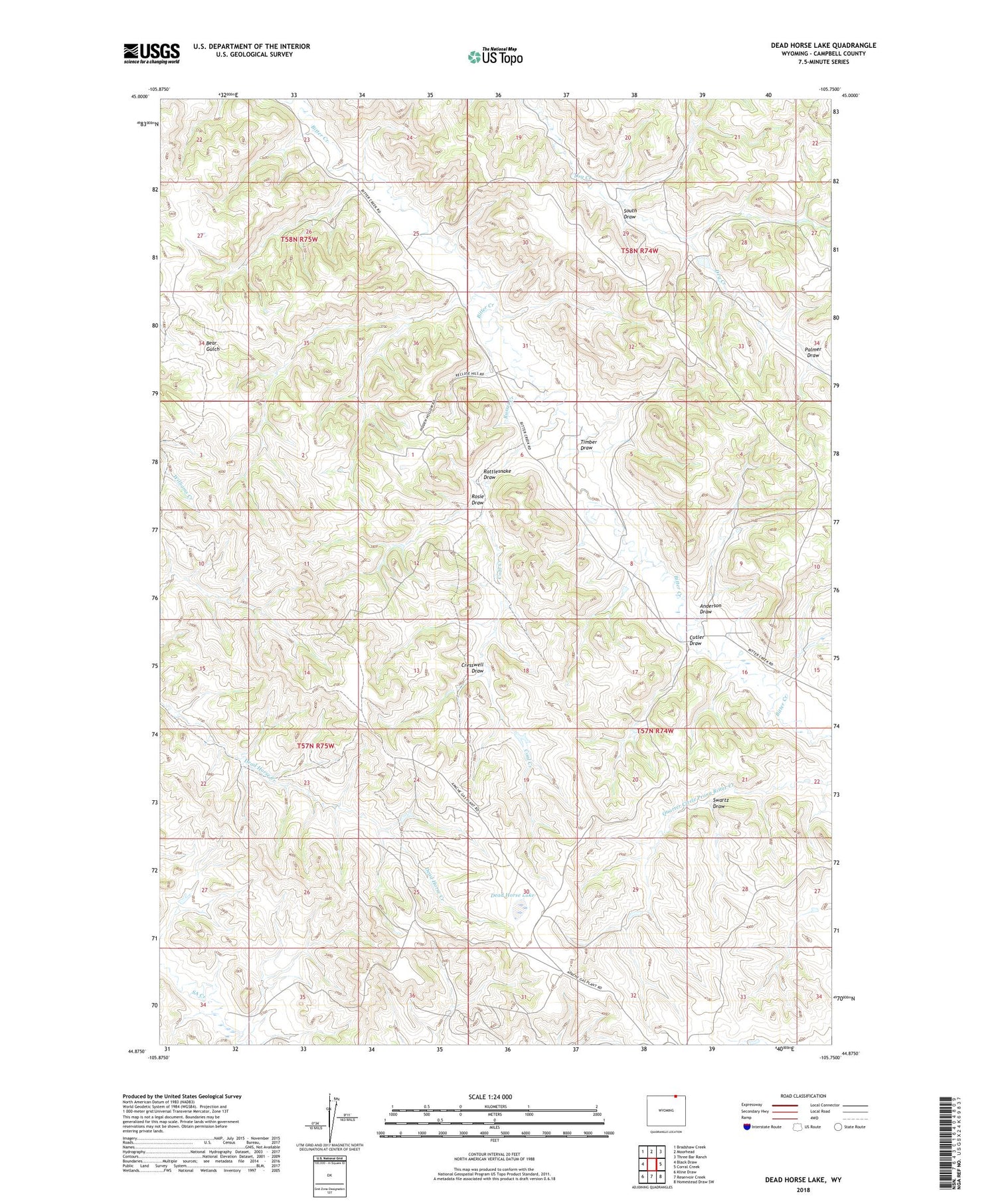
2021 topographic map quadrangle Dead Horse Lake in the state of Wyoming. Scale: 1:24000. Based on the newly updated USGS 7.5' US Topo map series, this map is in the following counties: Campbell. The map contains contour data, water features, and other items you are used to seeing on USGS maps, but also has updated roads and other features. This is the next generation of topographic maps. Printed on high-quality waterproof paper with UV fade-resistant inks.
Quads adjacent to this one:
West: Black Draw
Northwest: Bradshaw Creek
North: Moorhead
Northeast: Three Bar Ranch
East: Corral Creek
Southeast: Homestead Draw SW
South: Reservoir Creek
Southwest: Kline Draw
Contains the following named places: Anderson Draw, Coal Creek, Cresswell Draw, Cutler Draw, Dead Horse Lake, Palmer Draw, Rattlesnake Draw, Rosie Draw, Russel Creek, South Draw, Swartz Draw, Three Fork Canyon Area Number One Mine, Timber Draw