
MyTopo
Three Bar Ranch Montana US Topo Map
Couldn't load pickup availability
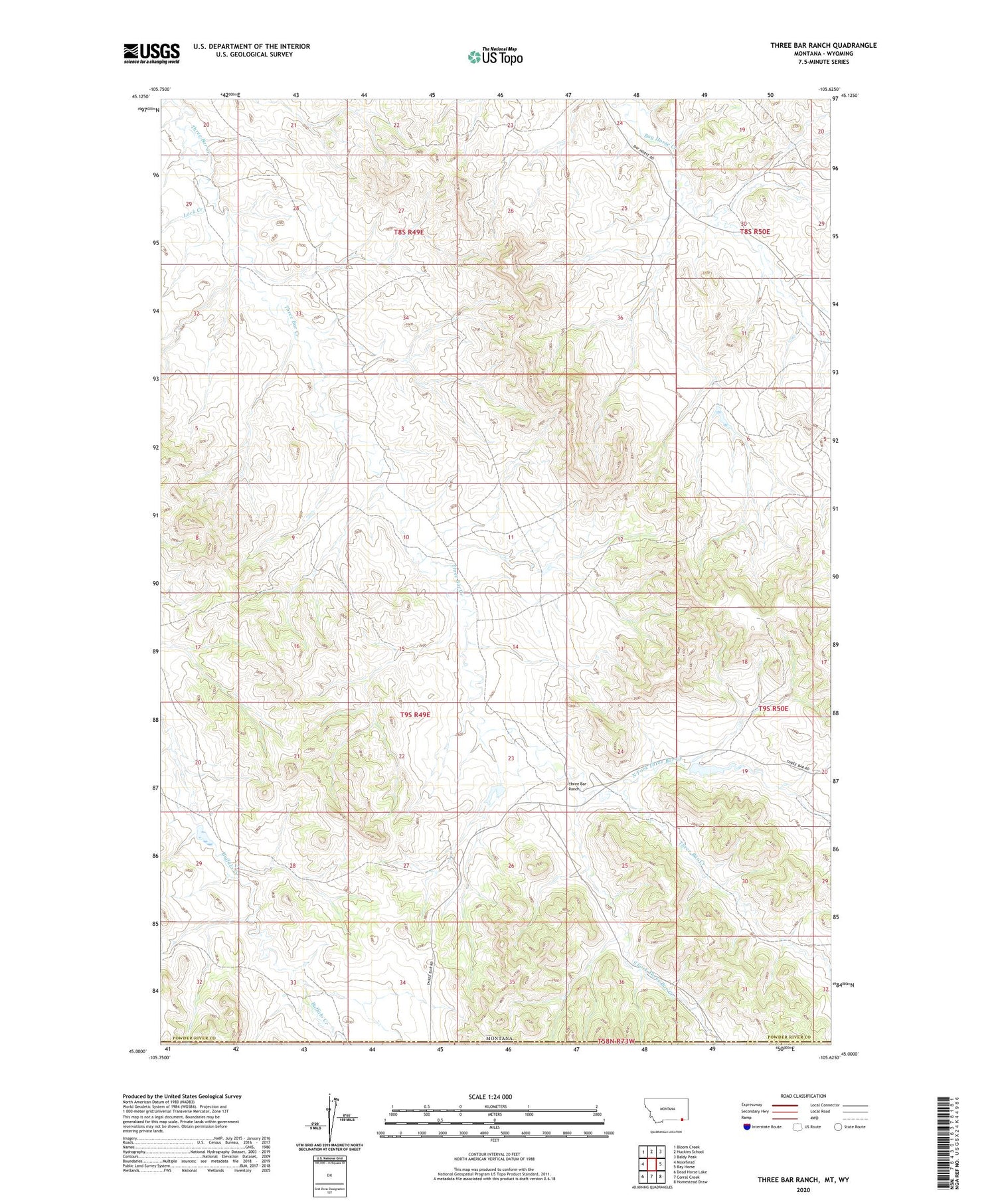
2024 topographic map quadrangle Three Bar Ranch in the state of Montana. Scale: 1:24000. Based on the newly updated USGS 7.5' US Topo map series, this map is in the following counties: Powder River, Campbell. The map contains contour data, water features, and other items you are used to seeing on USGS maps, but also has updated roads and other features. This is the next generation of topographic maps. Printed on high-quality waterproof paper with UV fade-resistant inks.
Quads adjacent to this one:
West: Moorhead
Northwest: Bloom Creek
North: Huckins School
Northeast: Baldy Peak
East: Bay Horse
Southeast: Homestead Draw
South: Corral Creek
Southwest: Dead Horse Lake
Contains the following named places: 08S49E25AADC01 Well, 09S49E24CCBC01 Well, 09S49E27DAAA01 Well, 09S50E19ADCA01 Well, Lock Creek, North Fork Three Bar Creek, Portwine Number 1 Dam, Sams Number 1 Dam, South Fork Three Bar Creek, Three Bar Ranch, Whiton Number 2 Dam


