MyTopo
Dead Indian Hill Wyoming US Topo Map
Couldn't load pickup availability
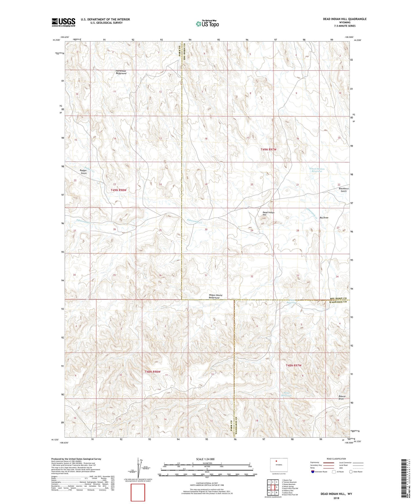
2021 topographic map quadrangle Dead Indian Hill in the state of Wyoming. Scale: 1:24000. Based on the newly updated USGS 7.5' US Topo map series, this map is in the following counties: Park, Big Horn, Washakie. The map contains contour data, water features, and other items you are used to seeing on USGS maps, but also has updated roads and other features. This is the next generation of topographic maps. Printed on high-quality waterproof paper with UV fade-resistant inks.
Quads adjacent to this one:
West: Wilson Spring
Northwest: Sheets Flat
North: Tatman Mountain
Northeast: Sheep Mountain
East: Dutch Nick Flat NW
Southeast: Dutch Nick Flat SW
South: Gillies Draw
Southwest: Hillberry Rim
Contains the following named places: Asays Reservoir, Badger Creek, Badger Gulch, Big Draw, Blackburn Gulch, Dead Indian Hill, Green Cabin, Hewitt Place, Horseshoe Bedground, Hunt Reservoir, Johnson Cabin, Kemick Cabin, McDonald Cabins, Sales Place, School Section Reservoir, Stone Cabin, Wagon Hound Bedground