MyTopo
Tatman Mountain Wyoming US Topo Map
Couldn't load pickup availability
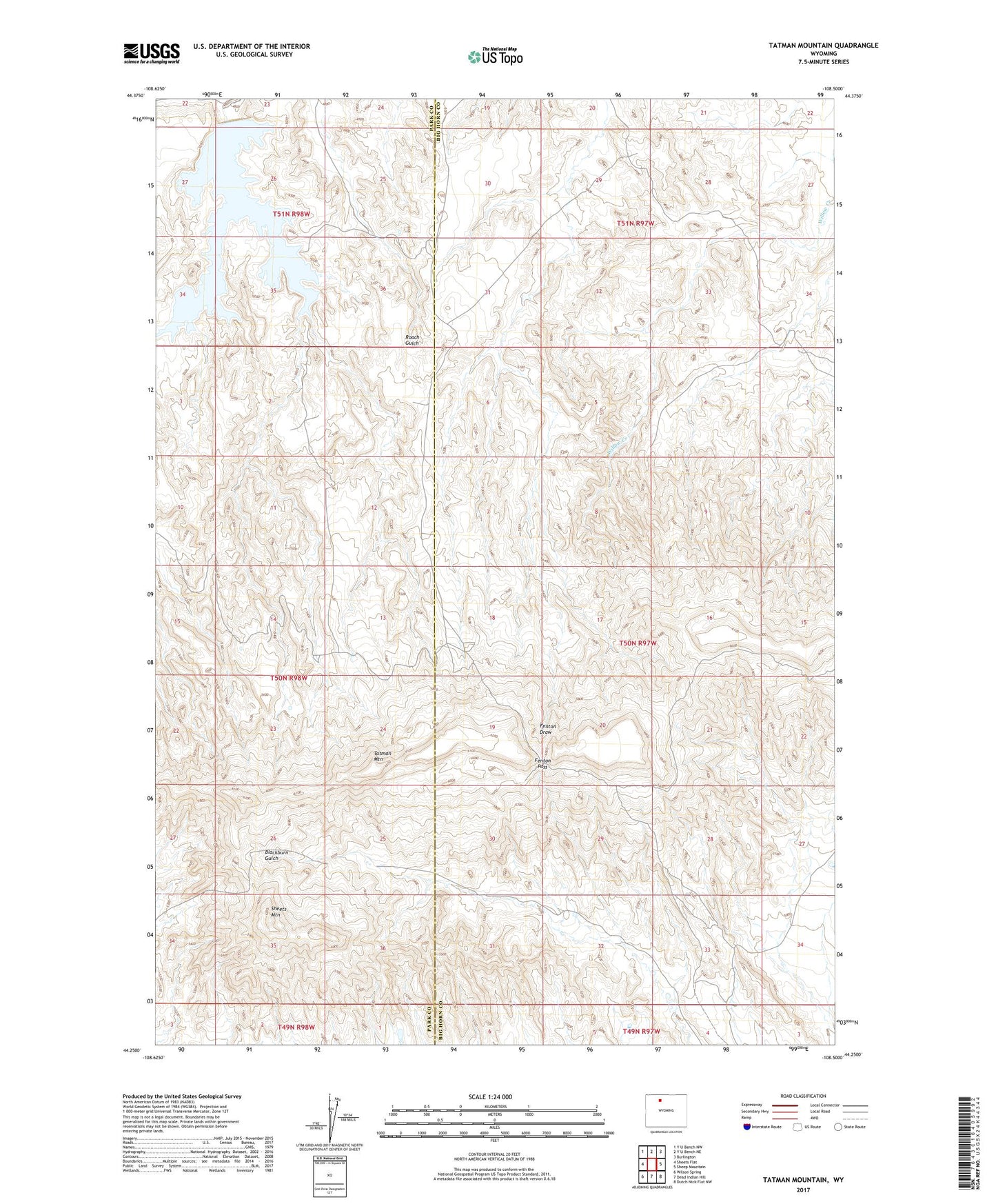
2021 topographic map quadrangle Tatman Mountain in the state of Wyoming. Scale: 1:24000. Based on the newly updated USGS 7.5' US Topo map series, this map is in the following counties: Big Horn, Park. The map contains contour data, water features, and other items you are used to seeing on USGS maps, but also has updated roads and other features. This is the next generation of topographic maps. Printed on high-quality waterproof paper with UV fade-resistant inks.
Quads adjacent to this one:
West: Sheets Flat
Northwest: Y U Bench NW
North: Y U Bench NE
Northeast: Burlington
East: Sheep Mountain
Southeast: Dutch Nick Flat NW
South: Dead Indian Hill
Southwest: Wilson Spring
This map covers the same area as the classic USGS quad with code o44108c5.
Contains the following named places: Fenton Pass, Sheets Mountain, Tatman Mountain