MyTopo
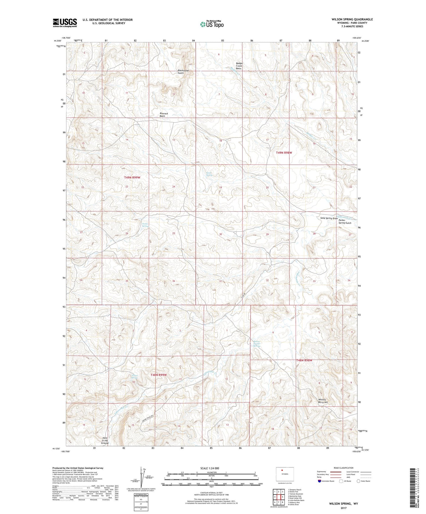
Wilson Spring Wyoming US Topo Map
Couldn't load pickup availability
2023 topographic map quadrangle Wilson Spring in the state of Wyoming. Scale: 1:24000. Based on the newly updated USGS 7.5' US Topo map series, this map is in the following counties: Park. The map contains contour data, water features, and other items you are used to seeing on USGS maps, but also has updated roads and other features. This is the next generation of topographic maps. Printed on high-quality waterproof paper with UV fade-resistant inks.
Quads adjacent to this one:
West: Meeteetse East
Northwest: Sleepers Ranch
North: Sheets Flat
Northeast: Tatman Mountain
East: Dead Indian Hill
Southeast: Gillies Draw
South: Hillberry Rim
Southwest: Little Buffalo Basin
This map covers the same area as the classic USGS quad with code o44108b6.
Contains the following named places: Badger Creek Basin, Baking Powder Springs, Joe Miller Cabin, John Miller Ranch, Kennison Cabin, Nohr Cabin, Parker Spring Gulch, Parker Springs, Rimrock Basin, Sand Spring, Sand Spring Draw, Webster Cabin, Whistle Berry Hill, Wilson Spring