MyTopo
Dennison Cap Wyoming US Topo Map
Couldn't load pickup availability
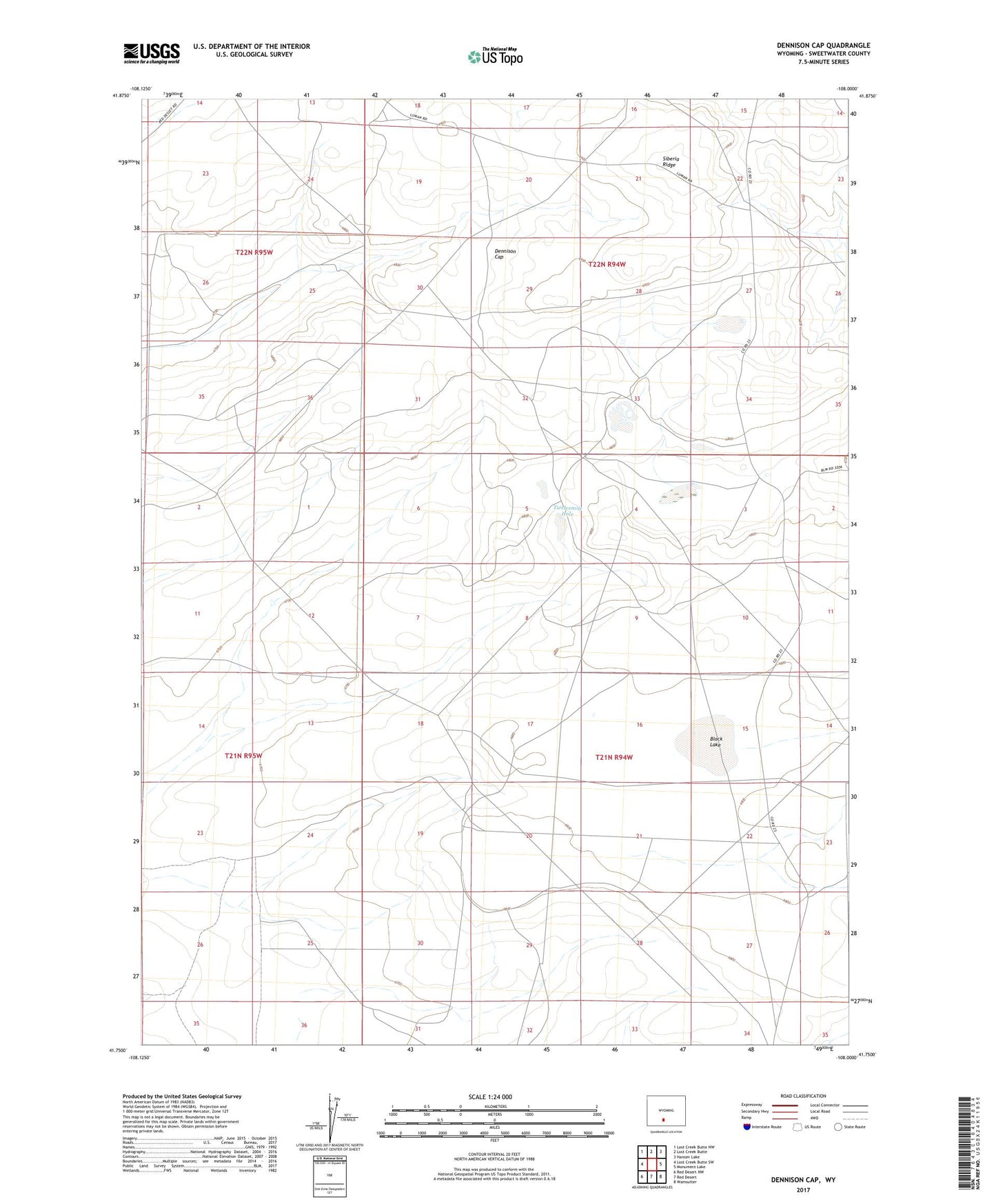
2021 topographic map quadrangle Dennison Cap in the state of Wyoming. Scale: 1:24000. Based on the newly updated USGS 7.5' US Topo map series, this map is in the following counties: Sweetwater. The map contains contour data, water features, and other items you are used to seeing on USGS maps, but also has updated roads and other features. This is the next generation of topographic maps. Printed on high-quality waterproof paper with UV fade-resistant inks.
Quads adjacent to this one:
West: Lost Creek Butte SW
Northwest: Lost Creek Butte NW
North: Lost Creek Butte
Northeast: Hansen Lake
East: Monument Lake
Southeast: Wamsutter
South: Red Desert
Southwest: Red Desert NW
This map covers the same area as the classic USGS quad with code o41108g1.
Contains the following named places: Black Lake, Buzzard Sheep Camp, Circle Bar Sheep Camp, Dennison Cap, Siberia Ridge, Strandburg Ranch, Twelvemile Hole