MyTopo
Divide Peak Wyoming US Topo Map
Couldn't load pickup availability
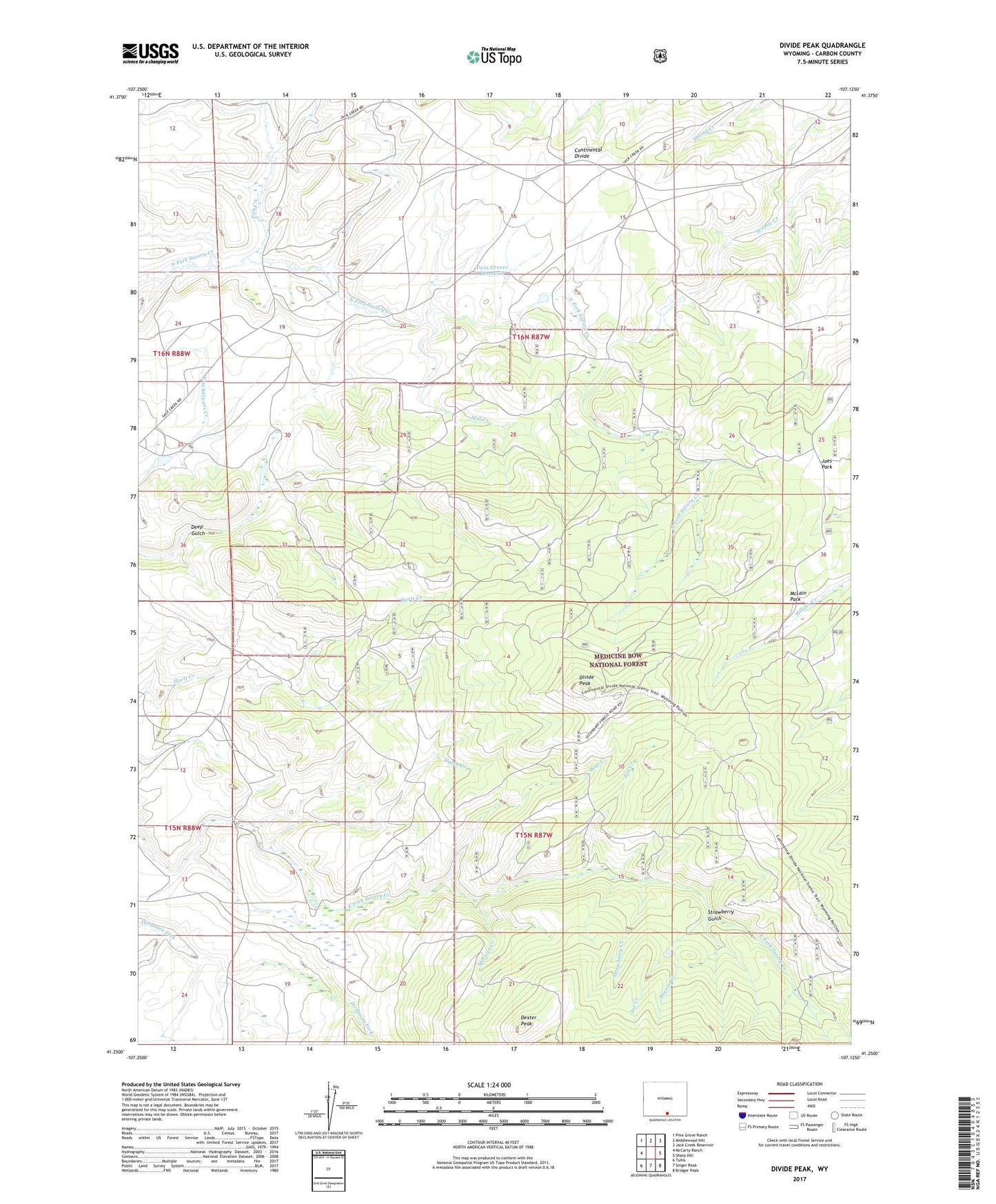
2021 topographic map quadrangle Divide Peak in the state of Wyoming. Scale: 1:24000. Based on the newly updated USGS 7.5' US Topo map series, this map is in the following counties: Carbon. The map contains contour data, water features, and other items you are used to seeing on USGS maps, but also has updated roads and other features. This is the next generation of topographic maps. Printed on high-quality waterproof paper with UV fade-resistant inks.
Quads adjacent to this one:
West: McCarty Ranch
Northwest: Pine Grove Ranch
North: Middlewood Hill
Northeast: Jack Creek Reservoir
East: Sharp Hill
Southeast: Bridger Peak
South: Singer Peak
Southwest: Tullis
Contains the following named places: Bear Creek, Beaver Creek, Bridger Mine, Dexter Peak, Dexterville, Dexterville Post Office, Divide Peak, Fish Creek, Hatch Creek, Jim Creek, Joe Creek, Joes Park, McLain Park, Mexican Creek, Mill Creek, Strawberry Creek, Strawberry Gulch, Twin Groves, Twin Groves Dam, Twin Groves Reservoir