MyTopo
Dwyer Wyoming US Topo Map
Couldn't load pickup availability
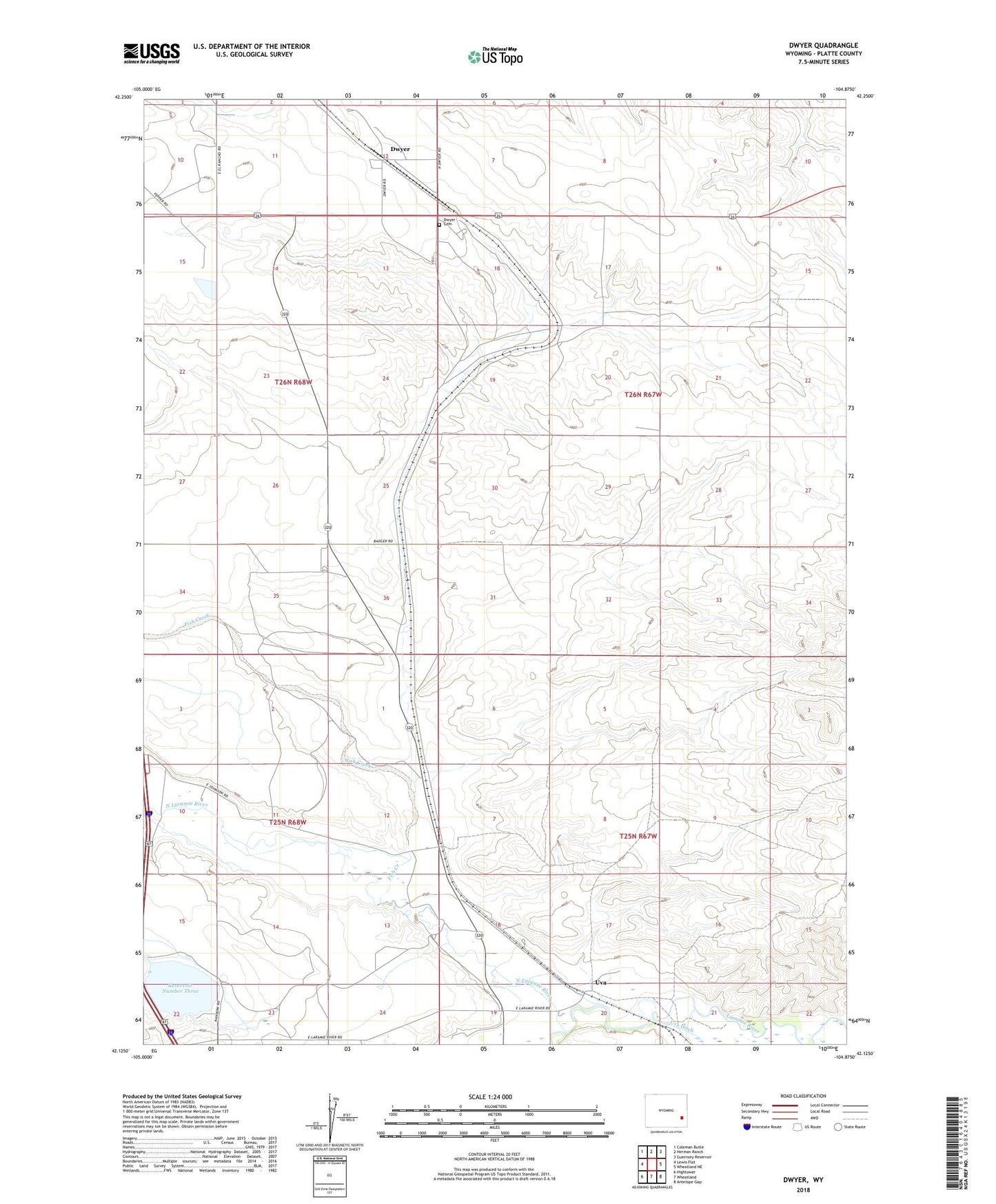
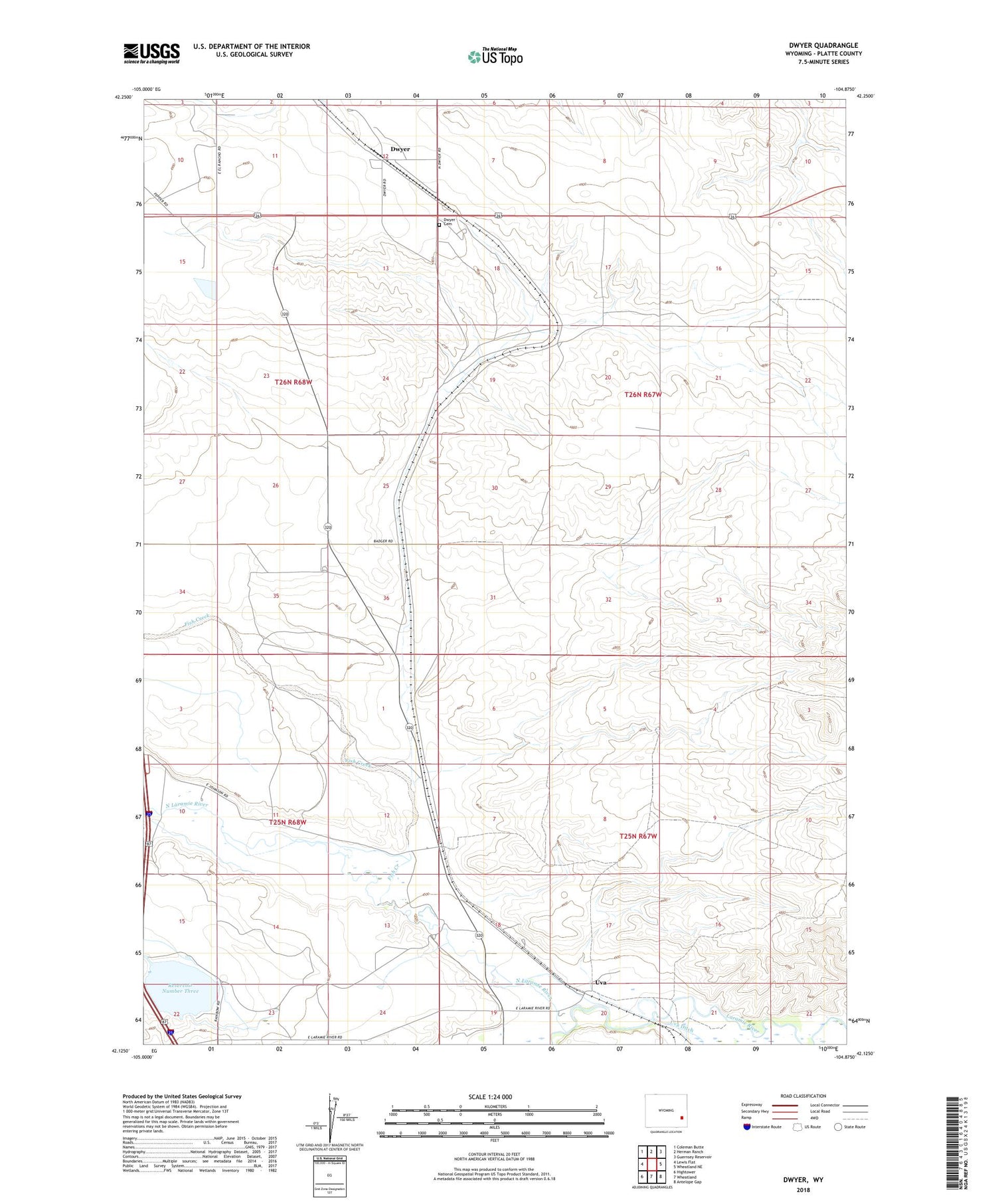
2021 topographic map quadrangle Dwyer in the state of Wyoming. Scale: 1:24000. Based on the newly updated USGS 7.5' US Topo map series, this map is in the following counties: Platte. The map contains contour data, water features, and other items you are used to seeing on USGS maps, but also has updated roads and other features. This is the next generation of topographic maps. Printed on high-quality waterproof paper with UV fade-resistant inks.
Quads adjacent to this one:
West: Lewis Flat
Northwest: Coleman Butte
North: Herman Ranch
Northeast: Guernsey Reservoir
East: Wheatland NE
Southeast: Antelope Gap
South: Wheatland
Southwest: Hightower
Contains the following named places: Dwyer, Dwyer Cemetery, Dwyer Junction, Fish Creek, Lowica Reservoir, N Laramie Land Company Number 3 Dam, North Laramie River, Platte County, Reservoir Number Three, Uva, Wheatland Creek