MyTopo
Elkol Wyoming US Topo Map
Couldn't load pickup availability
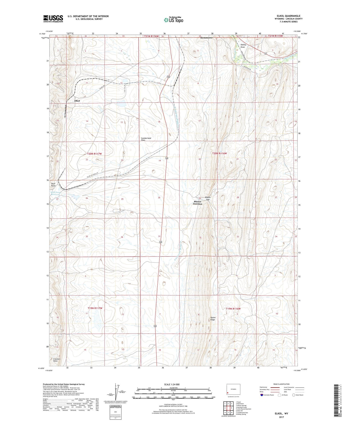
2021 topographic map quadrangle Elkol in the state of Wyoming. Scale: 1:24000. Based on the newly updated USGS 7.5' US Topo map series, this map is in the following counties: Lincoln. The map contains contour data, water features, and other items you are used to seeing on USGS maps, but also has updated roads and other features. This is the next generation of topographic maps. Printed on high-quality waterproof paper with UV fade-resistant inks.
Quads adjacent to this one:
West: Warfield Creek
Northwest: Fossil
North: Kemmerer
Northeast: Willow Springs
East: Little Round Mountain
Southeast: Mulkay Spring
South: Cumberland Gap
Southwest: Elkol SW
This map covers the same area as the classic USGS quad with code o41110f5.
Contains the following named places: Biazon Mine, Blazon Gap, Blazon Junction, Blazon Mine, Brilliant Number Eight Mine, Crockers Point, Cumberland Number Three Mine, Elkol, Fitzpatrick Mine, Glencoe Junction, Glencoe Mine, Lincoln Star Mine, Molinar Dam, Molinar Reservoir, Oakley Draw, Pacific Coal Company Mine, Radiant Mine, Skull Point, Sudden Number One Mine