MyTopo
Elkol SW Wyoming US Topo Map
Couldn't load pickup availability
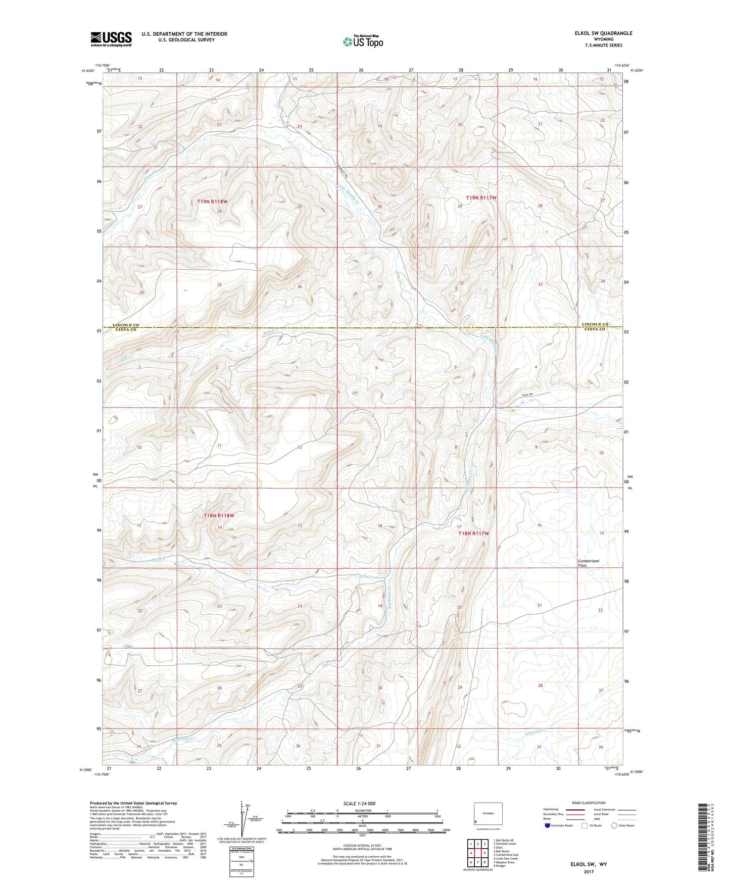
2021 topographic map quadrangle Elkol SW in the state of Wyoming. Scale: 1:24000. Based on the newly updated USGS 7.5' US Topo map series, this map is in the following counties: Uinta, Lincoln. The map contains contour data, water features, and other items you are used to seeing on USGS maps, but also has updated roads and other features. This is the next generation of topographic maps. Printed on high-quality waterproof paper with UV fade-resistant inks.
Quads adjacent to this one:
West: Bell Butte
Northwest: Bell Butte NE
North: Warfield Creek
Northeast: Elkol
East: Cumberland Gap
Southeast: Bridger
South: Meadow Draw
Southwest: Little Dee Creek
This map covers the same area as the classic USGS quad with code o41110e6.
Contains the following named places: Bell Creek, Bertagonilli Mine, Davis Mine, Hill Creek, North Fork Sheep Creek, Ryckman Creek, Sheep Creek