MyTopo
Ferris Wyoming US Topo Map
Couldn't load pickup availability
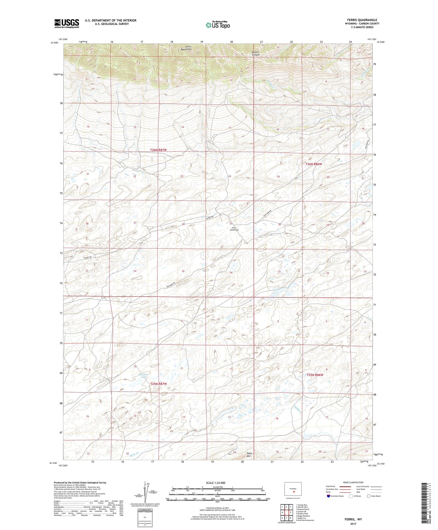
2021 topographic map quadrangle Ferris in the state of Wyoming. Scale: 1:24000. Based on the newly updated USGS 7.5' US Topo map series, this map is in the following counties: Carbon. The map contains contour data, water features, and other items you are used to seeing on USGS maps, but also has updated roads and other features. This is the next generation of topographic maps. Printed on high-quality waterproof paper with UV fade-resistant inks.
Quads adjacent to this one:
West: Lamont NE
Northwest: Youngs Pass
North: Spanish Mine
Northeast: Buzzard Ranch
East: Bradley Peak
Southeast: Wild Horse Mountain
South: Riddle Cut
Southwest: Boggy Meadows
This map covers the same area as the classic USGS quad with code o42107b2.
Contains the following named places: Ferris, Garden Creek, General Petroleum Oil Field, Larsen Place, Marvin Place, McCargar Place, Riddle Creek, Rinshaw Lake