MyTopo
Flitner Reservoir Wyoming US Topo Map
Couldn't load pickup availability
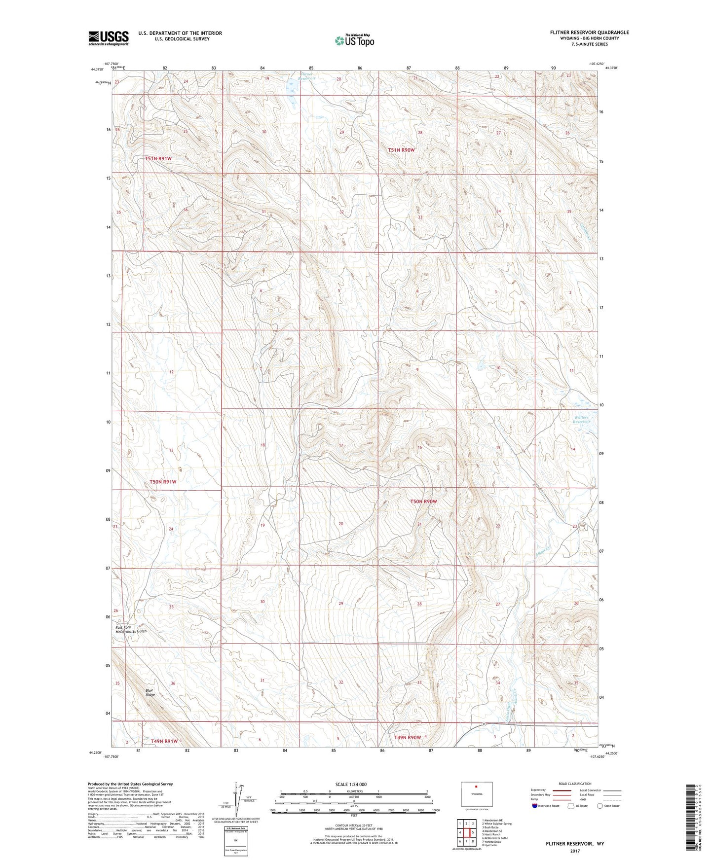
2021 topographic map quadrangle Flitner Reservoir in the state of Wyoming. Scale: 1:24000. Based on the newly updated USGS 7.5' US Topo map series, this map is in the following counties: Big Horn. The map contains contour data, water features, and other items you are used to seeing on USGS maps, but also has updated roads and other features. This is the next generation of topographic maps. Printed on high-quality waterproof paper with UV fade-resistant inks.
Quads adjacent to this one:
West: Manderson SE
Northwest: Manderson NE
North: White Sulphur Spring
Northeast: Bush Butte
East: Hyatt Ranch
Southeast: Hyattville
South: Weintz Draw
Southwest: McDermotts Butte
Contains the following named places: Anita Ditch, Anomaly Number Four Mine, Flitner Reservoir, Walters Dam, Walters Reservoir