MyTopo
White Sulphur Spring Wyoming US Topo Map
Couldn't load pickup availability
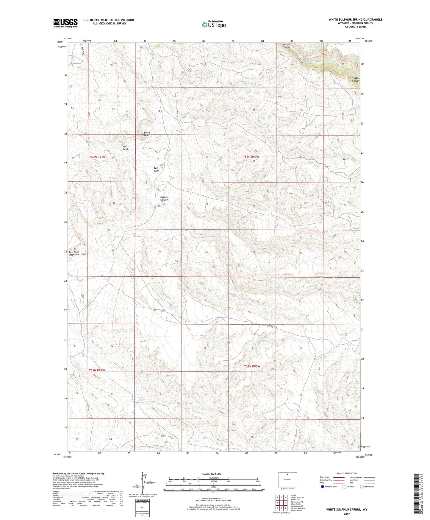
2021 topographic map quadrangle White Sulphur Spring in the state of Wyoming. Scale: 1:24000. Based on the newly updated USGS 7.5' US Topo map series, this map is in the following counties: Big Horn. The map contains contour data, water features, and other items you are used to seeing on USGS maps, but also has updated roads and other features. This is the next generation of topographic maps. Printed on high-quality waterproof paper with UV fade-resistant inks.
Quads adjacent to this one:
West: Manderson NE
Northwest: Shell
North: Black Mountain
Northeast: Shell Falls
East: Bush Butte
Southeast: Hyatt Ranch
South: Flitner Reservoir
Southwest: Manderson SE
This map covers the same area as the classic USGS quad with code o44107d6.
Contains the following named places: Devils Leap, Dry Bush Creek, Red Basin, Split Ear Spring, Webber Canyon, White Sulphur Spring