MyTopo
Fossil Wyoming US Topo Map
Couldn't load pickup availability
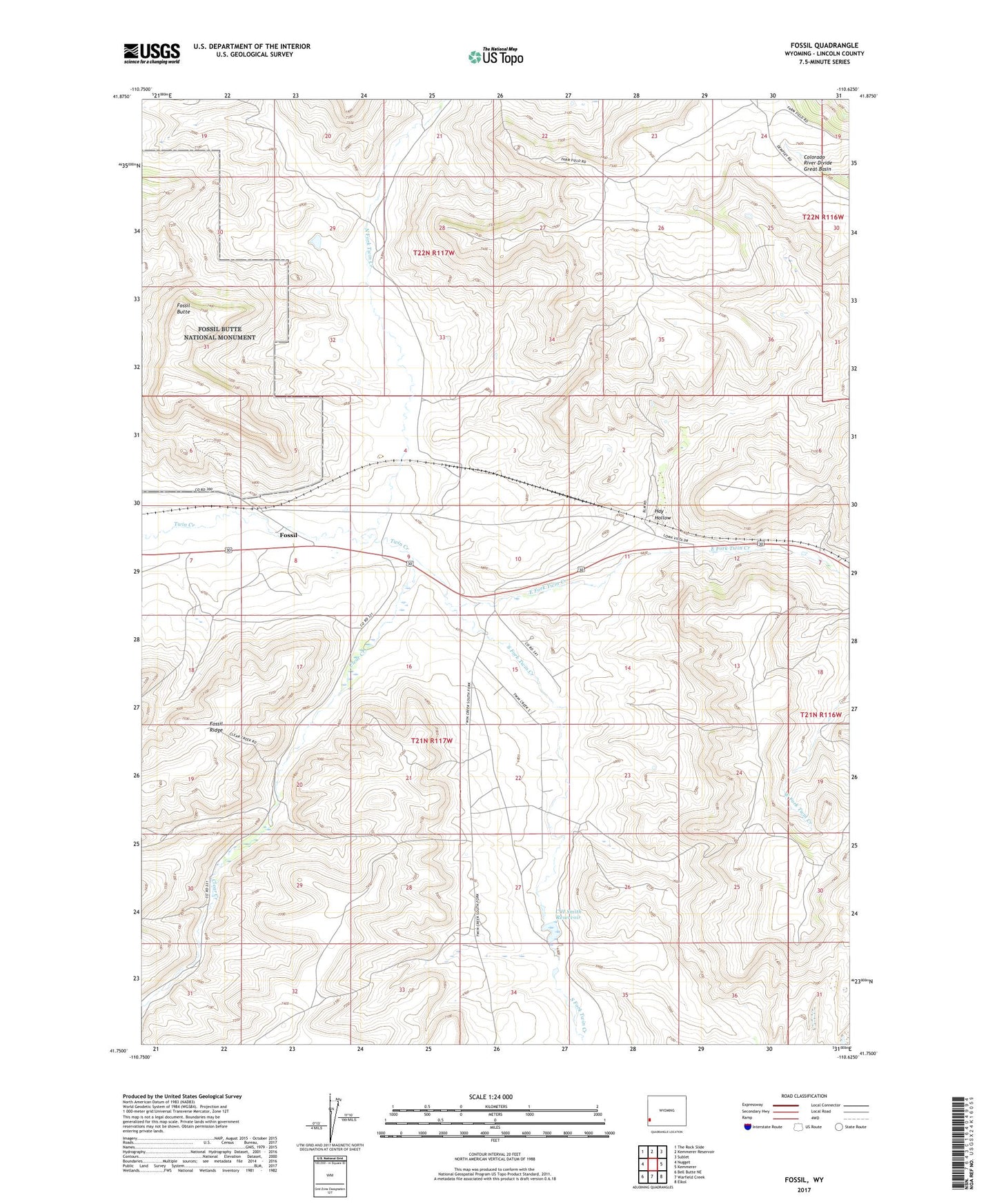
2021 topographic map quadrangle Fossil in the state of Wyoming. Scale: 1:24000. Based on the newly updated USGS 7.5' US Topo map series, this map is in the following counties: Lincoln. The map contains contour data, water features, and other items you are used to seeing on USGS maps, but also has updated roads and other features. This is the next generation of topographic maps. Printed on high-quality waterproof paper with UV fade-resistant inks.
Quads adjacent to this one:
West: Nugget
Northwest: The Rock Slide
North: Kemmerer Reservoir
Northeast: Sublet
East: Kemmerer
Southeast: Elkol
South: Warfield Creek
Southwest: Bell Butte NE
Contains the following named places: C H Smith Dam, C H Smith Reservoir, Clear Creek, Colorado River Divide Great Basin, East Fork Twin Creek, Fossil, Fossil Butte, Fossil Fish Quarries, Hay Hollow, North Fork Twin Creek, Rich Dam, Rich Reservoir, South Fork Twin Creek, Twin Creek Mine