MyTopo
Garland Hill Wyoming US Topo Map
Couldn't load pickup availability
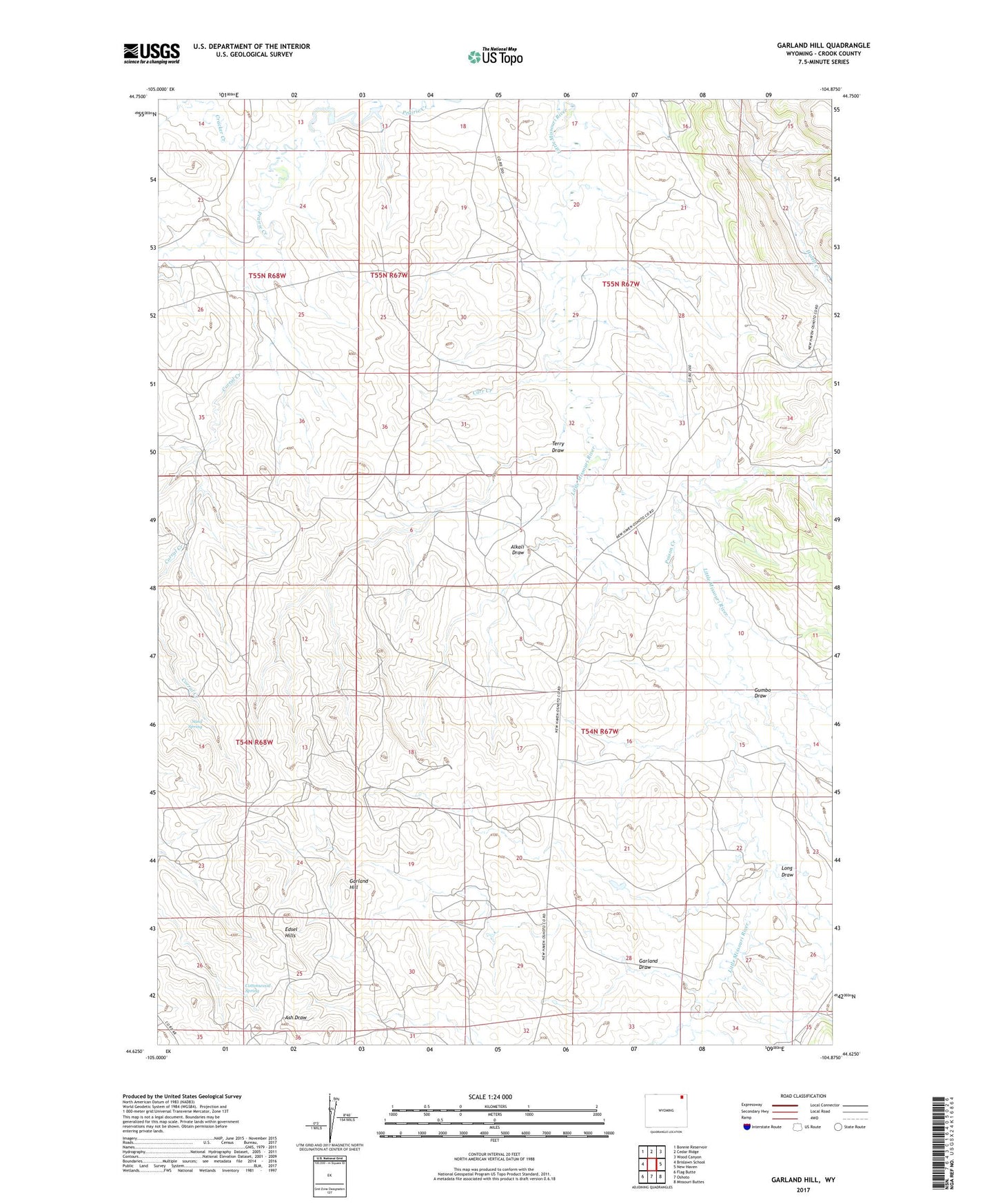
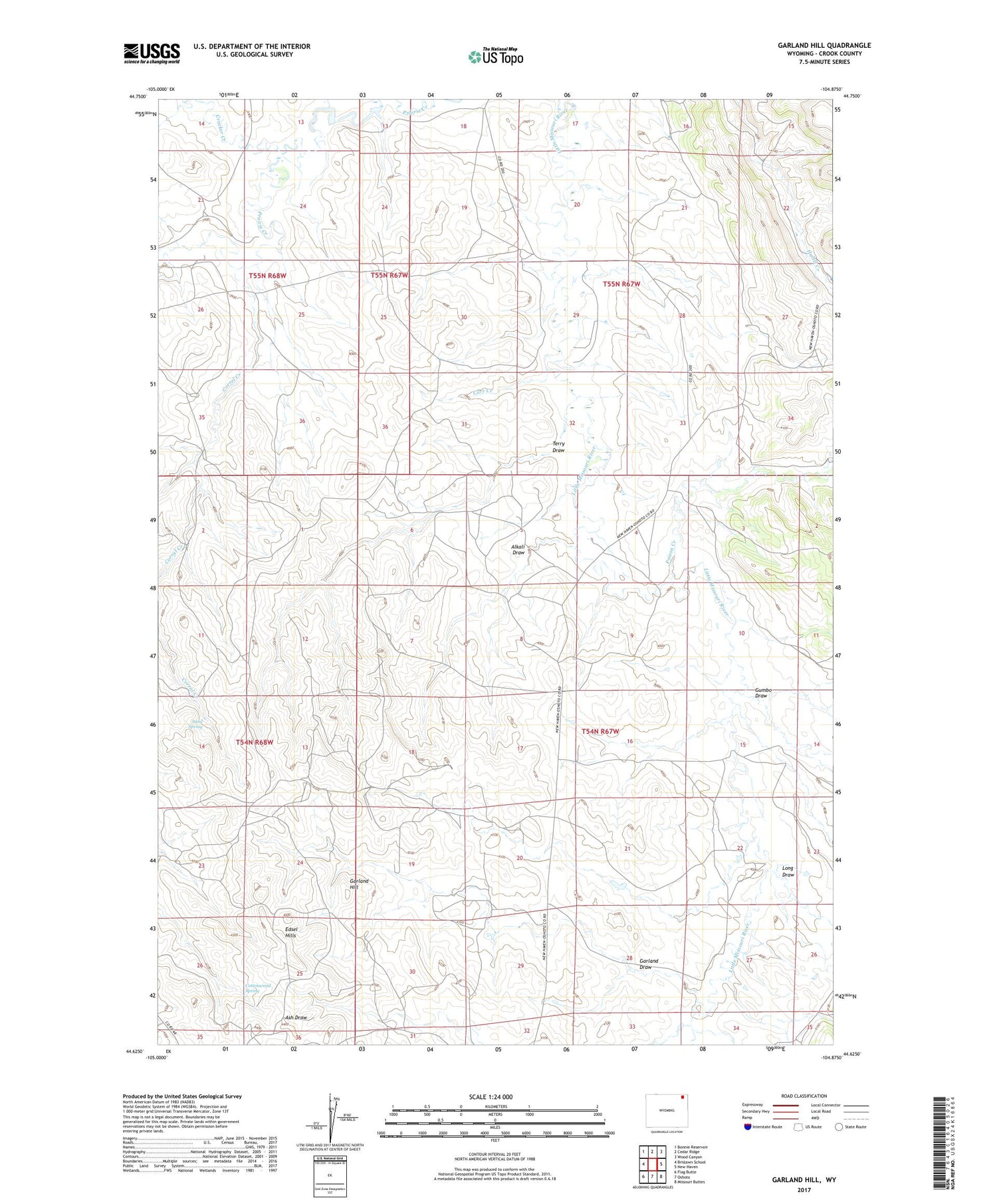
2021 topographic map quadrangle Garland Hill in the state of Wyoming. Scale: 1:24000. Based on the newly updated USGS 7.5' US Topo map series, this map is in the following counties: Crook. The map contains contour data, water features, and other items you are used to seeing on USGS maps, but also has updated roads and other features. This is the next generation of topographic maps. Printed on high-quality waterproof paper with UV fade-resistant inks.
Quads adjacent to this one:
West: Brislawn School
Northwest: Bonnie Reservoir
North: Cedar Ridge
Northeast: Wood Canyon
East: New Haven
Southeast: Missouri Buttes
South: Oshoto
Southwest: Flag Butte
Contains the following named places: Alkali Draw, Carr Creek, Corral Creek, Cottonwood Spring, Cracker Creek, Edsel Hills, Garland Draw, Garland Hill, Gumbo Draw, Long Draw, Poison Creek, Sand Spring, Terry Draw