MyTopo
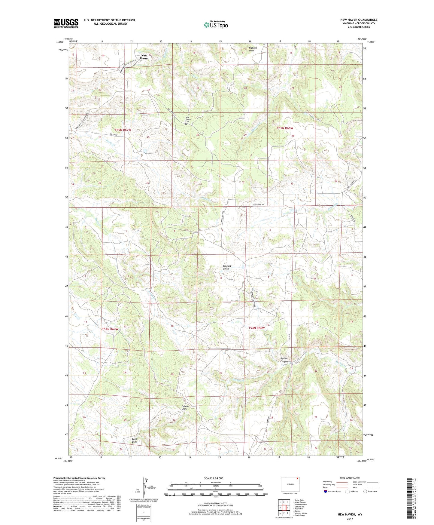
New Haven Wyoming US Topo Map
Couldn't load pickup availability
2021 topographic map quadrangle New Haven in the state of Wyoming. Scale: 1:24000. Based on the newly updated USGS 7.5' US Topo map series, this map is in the following counties: Crook. The map contains contour data, water features, and other items you are used to seeing on USGS maps, but also has updated roads and other features. This is the next generation of topographic maps. Printed on high-quality waterproof paper with UV fade-resistant inks.
Quads adjacent to this one:
West: Garland Hill
Northwest: Cedar Ridge
North: Wood Canyon
Northeast: Strawberry Hill
East: Moore Hill
Southeast: Devils Tower
South: Missouri Buttes
Southwest: Oshoto
This map covers the same area as the classic USGS quad with code o44104f7.
Contains the following named places: Barlow Canyon School, Cabin Creek Number Six Mine, Graves One Mine, Jubilee Mine, Julius Hauber Dam, Julius Hauber Reservoir, New Haven, New Haven Cemetery, Poison Creek Mine, Rathbun School