MyTopo
Gloin Reservoir Wyoming US Topo Map
Couldn't load pickup availability
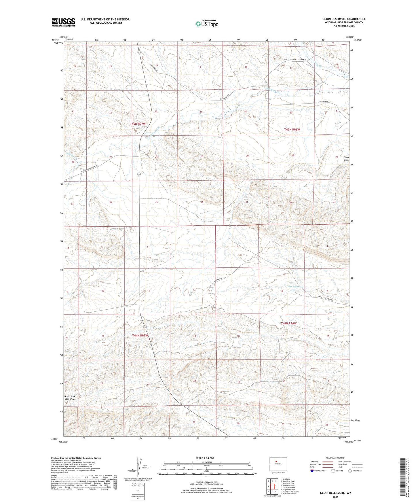
2021 topographic map quadrangle Gloin Reservoir in the state of Wyoming. Scale: 1:24000. Based on the newly updated USGS 7.5' US Topo map series, this map is in the following counties: Hot Springs. The map contains contour data, water features, and other items you are used to seeing on USGS maps, but also has updated roads and other features. This is the next generation of topographic maps. Printed on high-quality waterproof paper with UV fade-resistant inks.
Quads adjacent to this one:
West: Hamilton Dome
Northwest: Red Ridge
North: Blue Mesa West
Northeast: Blue Mesa East
East: Little Sand Draw
Southeast: Rattlesnake Gulch
South: Thompson Reservoirs
Southwest: Arapahoe Ranch
This map covers the same area as the classic USGS quad with code o43108g4.
Contains the following named places: Cottonwood Creek Mine, Gloin Reservoir, Prospect Creek