MyTopo
Blue Mesa East Wyoming US Topo Map
Couldn't load pickup availability
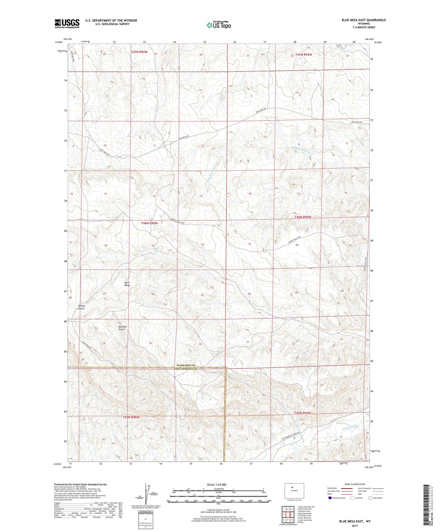
2021 topographic map quadrangle Blue Mesa East in the state of Wyoming. Scale: 1:24000. Based on the newly updated USGS 7.5' US Topo map series, this map is in the following counties: Washakie, Hot Springs. The map contains contour data, water features, and other items you are used to seeing on USGS maps, but also has updated roads and other features. This is the next generation of topographic maps. Printed on high-quality waterproof paper with UV fade-resistant inks.
Quads adjacent to this one:
West: Blue Mesa West
Northwest: Dutch Nick Flat SW
North: Dutch Nick Flat
Northeast: Schuster Flats
East: Chimney Gulch
Southeast: Kirby
South: Little Sand Draw
Southwest: Gloin Reservoir
This map covers the same area as the classic USGS quad with code o43108h3.
Contains the following named places: Blue Mesa, Keg Spring