MyTopo
Irish Rock Wyoming US Topo Map
Couldn't load pickup availability
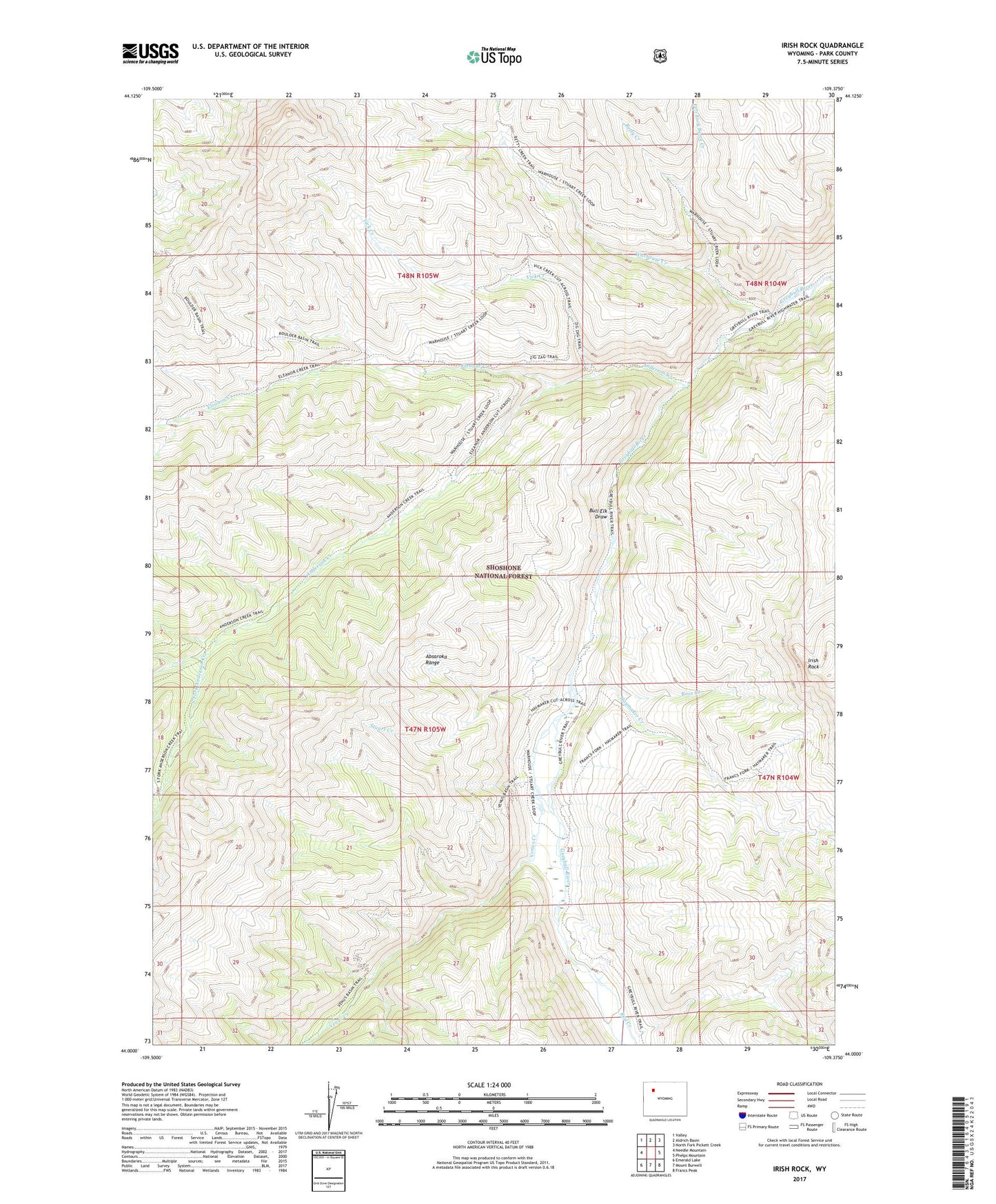
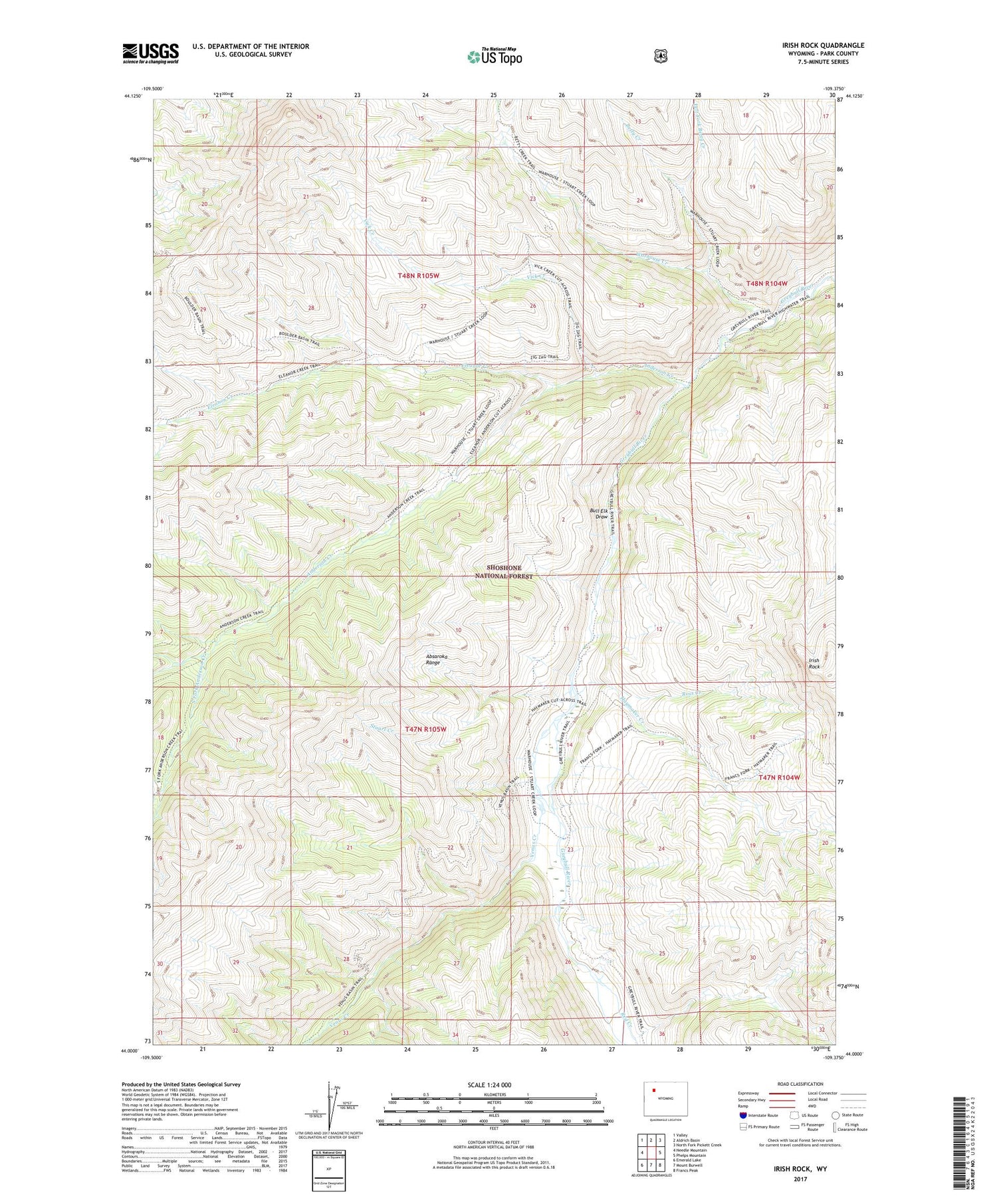
2021 topographic map quadrangle Irish Rock in the state of Wyoming. Scale: 1:24000. Based on the newly updated USGS 7.5' US Topo map series, this map is in the following counties: Park. The map contains contour data, water features, and other items you are used to seeing on USGS maps, but also has updated roads and other features. This is the next generation of topographic maps. Printed on high-quality waterproof paper with UV fade-resistant inks.
Quads adjacent to this one:
West: Needle Mountain
Northwest: Valley
North: Aldrich Basin
Northeast: North Fork Pickett Creek
East: Phelps Mountain
Southeast: Francs Peak
South: Mount Burwell
Southwest: Emerald Lake
Contains the following named places: Anderson Creek, Anderson Creek Trail, Betty Creek, Boulder Basin Trail, Bull Elk Draw, Eleanor Creek, Haymaker Creek, Irish Rock, Left Fork Betty Creek, Little Venus Cutoff Trail, Marbel Mountain Trail, North Fork Anderson Creek, Red Creek, Ross Creek, South Fork Anderson Creek, South Piney Trail, Stuart Creek, Venus Basin Trail, Venus Creek, Venus Creek Cabin, Vick Creek, Vick Creek Cutoff Trail, Warhouse Creek, Warhouse Trail, Zig-Zag Trail