MyTopo
Jack Horner Reservoir Wyoming US Topo Map
Couldn't load pickup availability
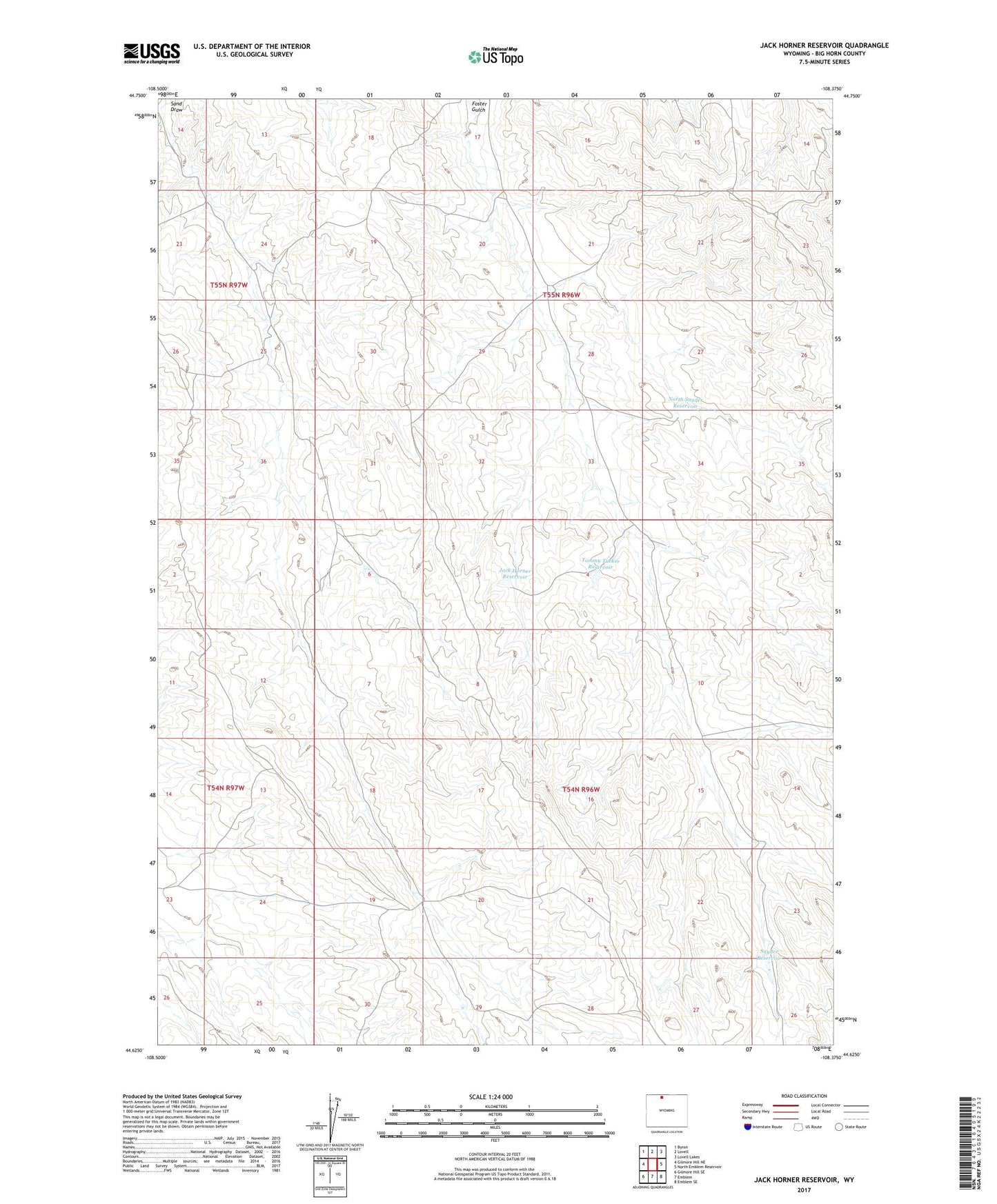
2021 topographic map quadrangle Jack Horner Reservoir in the state of Wyoming. Scale: 1:24000. Based on the newly updated USGS 7.5' US Topo map series, this map is in the following counties: Big Horn. The map contains contour data, water features, and other items you are used to seeing on USGS maps, but also has updated roads and other features. This is the next generation of topographic maps. Printed on high-quality waterproof paper with UV fade-resistant inks.
Quads adjacent to this one:
West: Gilmore Hill NE
Northwest: Byron
North: Lovell
Northeast: Lovell Lakes
East: North Emblem Reservoir
Southeast: Emblem SE
South: Emblem
Southwest: Gilmore Hill SE
This map covers the same area as the classic USGS quad with code o44108f4.
Contains the following named places: Jack Horner Reservoir, North Snyder Reservoir, Snyder Reservoir, Tommy Tucker Reservoir