MyTopo
Juniper Draw Wyoming US Topo Map
Couldn't load pickup availability
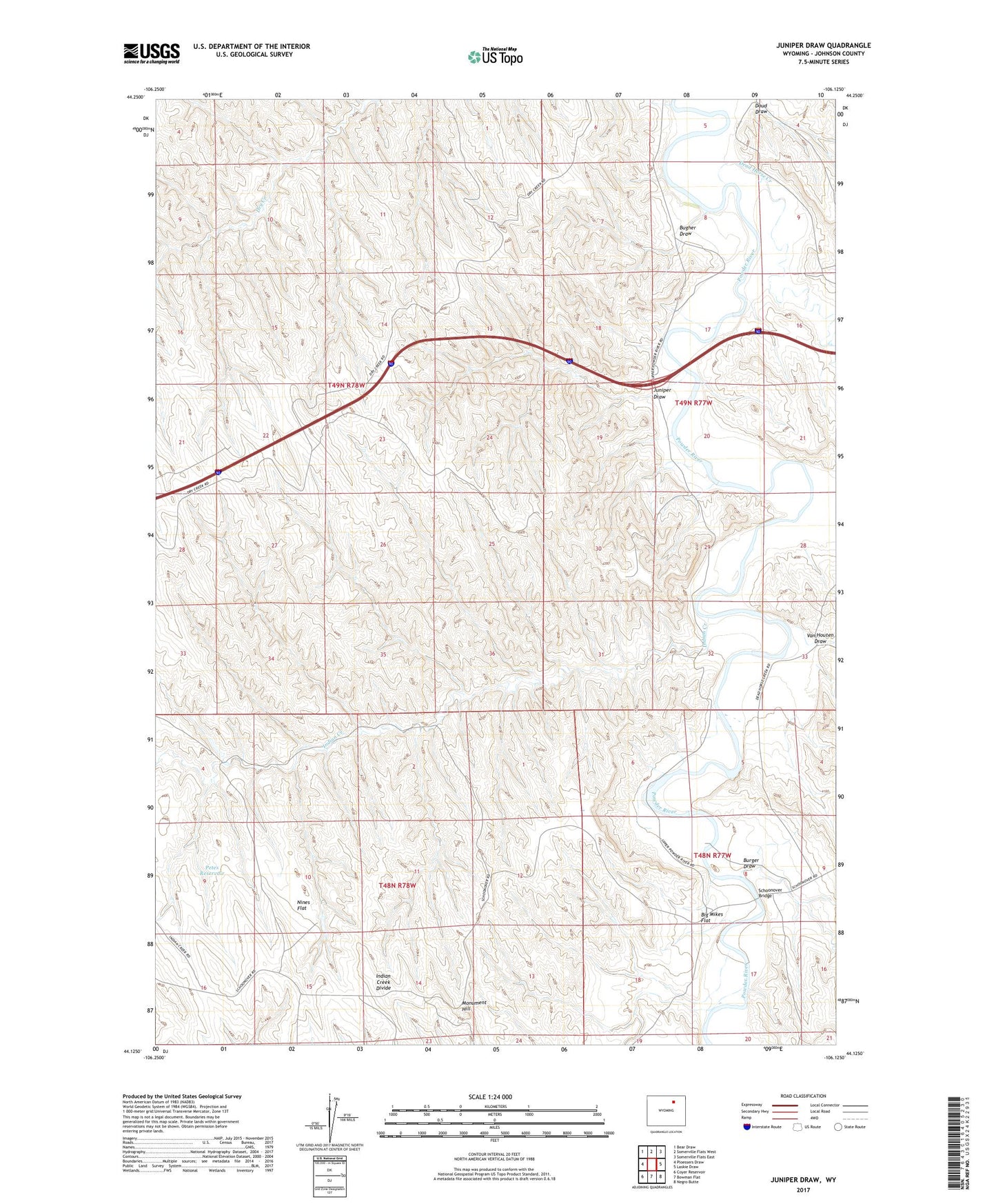
2021 topographic map quadrangle Juniper Draw in the state of Wyoming. Scale: 1:24000. Based on the newly updated USGS 7.5' US Topo map series, this map is in the following counties: Johnson. The map contains contour data, water features, and other items you are used to seeing on USGS maps, but also has updated roads and other features. This is the next generation of topographic maps. Printed on high-quality waterproof paper with UV fade-resistant inks.
Quads adjacent to this one:
West: Ploessers Draw
Northwest: Bear Draw
North: Somerville Flats West
Northeast: Somerville Flats East
East: Laskie Draw
Southeast: Negro Butte
South: Bowman Flat
Southwest: Coyer Reservoir
This map covers the same area as the classic USGS quad with code o44106b2.
Contains the following named places: Big Mikes Flat, Bugher Draw, Burger Draw, Dead Horse Creek, Doud Draw, Indian Creek, Juniper Draw, Marton Powder River Pit, Monument Hill, Nines Flat, Petes Reservoir, Schoonover Bridge, Van Houten Draw