MyTopo
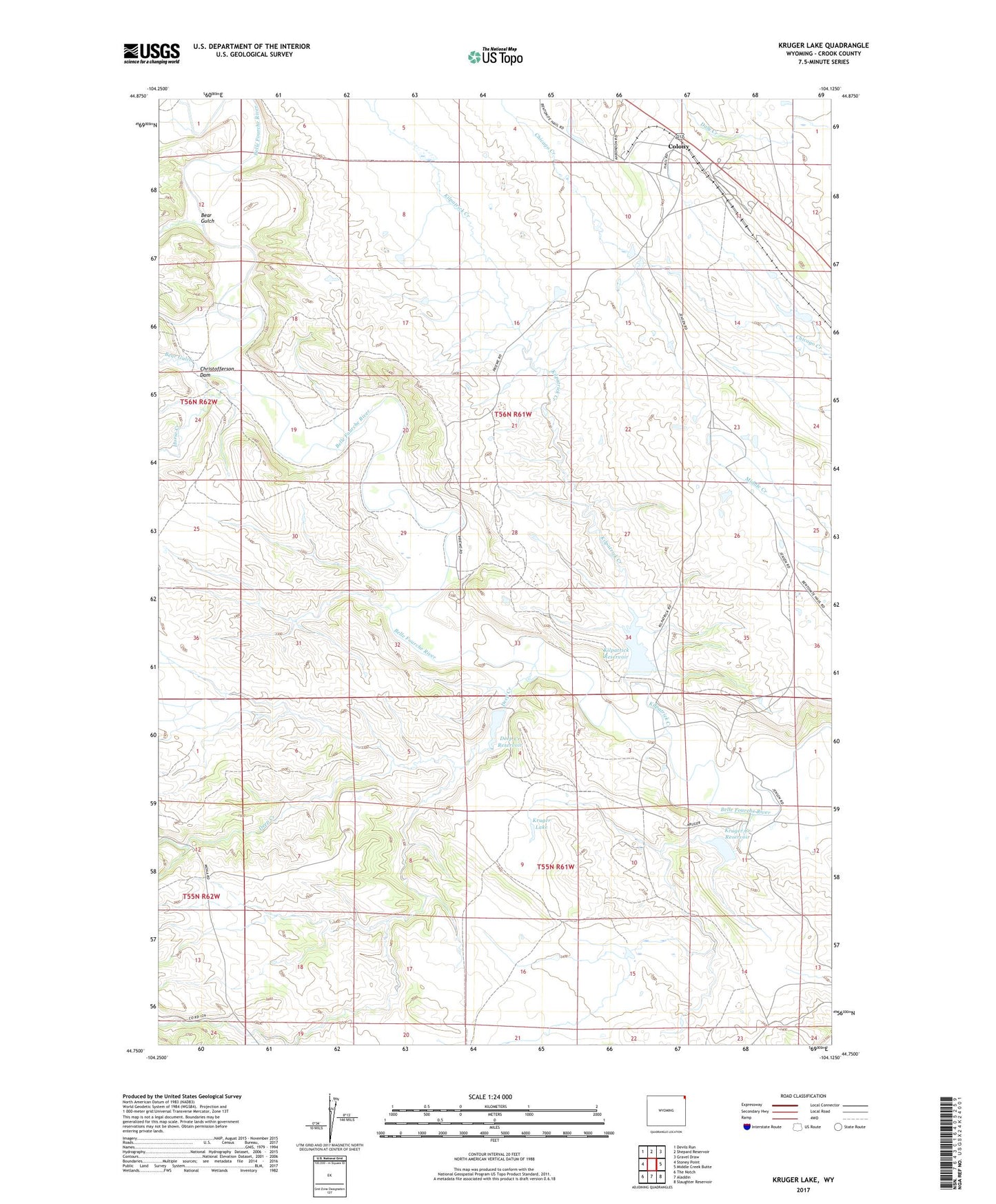
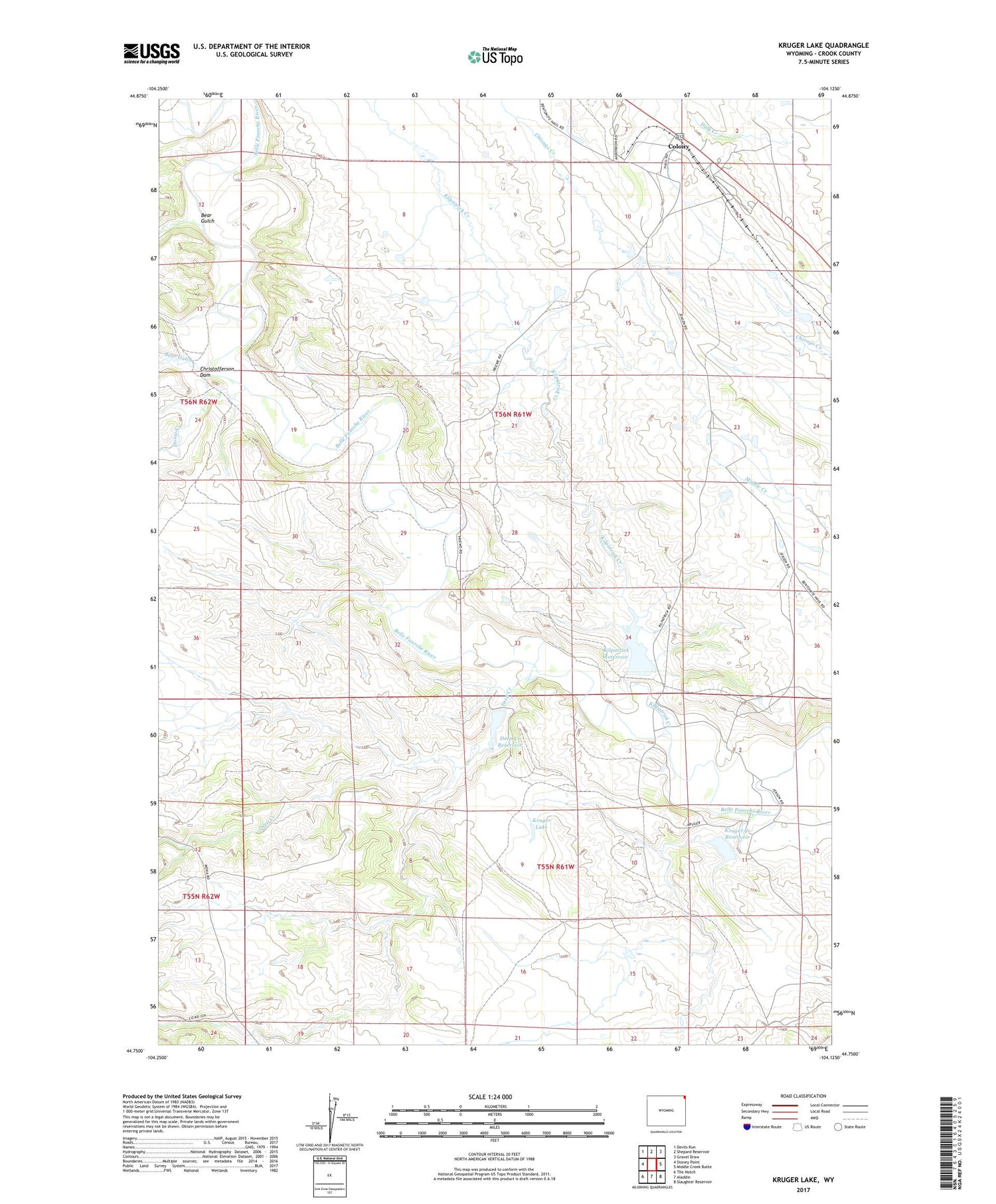
Kruger Lake Wyoming US Topo Map
Couldn't load pickup availability
2021 topographic map quadrangle Kruger Lake in the state of Wyoming. Scale: 1:24000. Based on the newly updated USGS 7.5' US Topo map series, this map is in the following counties: Crook. The map contains contour data, water features, and other items you are used to seeing on USGS maps, but also has updated roads and other features. This is the next generation of topographic maps. Printed on high-quality waterproof paper with UV fade-resistant inks.
Quads adjacent to this one:
West: Stoney Point
Northwest: Devils Run
North: Shepard Reservoir
Northeast: Gravel Draw
East: Middle Creek Butte
Southeast: Slaughter Reservoir
South: Aladdin
Southwest: The Notch
Contains the following named places: Baroid School, Bear Gulch, Belle Fourche River Number One Mine, Bentonite Spur, Christofferson Draw, Colony, Deep Creek, Deep Creek Dam, Deep Creek Reservoir, Horse Creek, Kilpatrick Creek, Kilpatrick Dam, Kilpatrick Reservoir, Kruger Creek Dam, Kruger Creek Reservoir, Kruger Lake, Lillian Jensen Ranch, McDonald Ranch, Pine Creek, Thorval Jensen Ranch, Viergutz One Mine