MyTopo
Leroy Wyoming US Topo Map
Couldn't load pickup availability
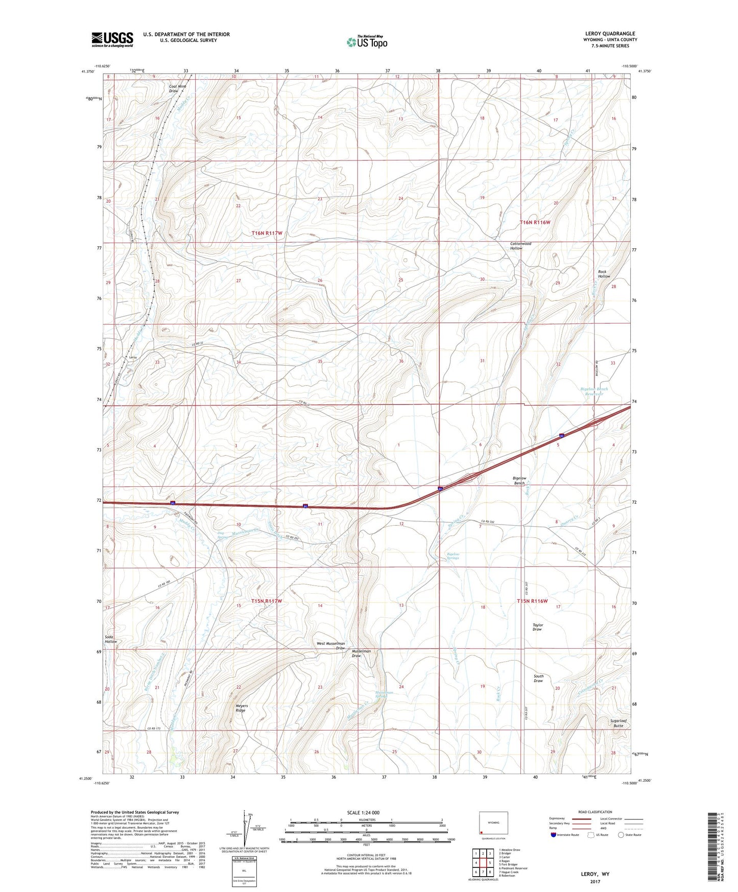
2021 topographic map quadrangle Leroy in the state of Wyoming. Scale: 1:24000. Based on the newly updated USGS 7.5' US Topo map series, this map is in the following counties: Uinta. The map contains contour data, water features, and other items you are used to seeing on USGS maps, but also has updated roads and other features. This is the next generation of topographic maps. Printed on high-quality waterproof paper with UV fade-resistant inks.
Quads adjacent to this one:
West: Ragan
Northwest: Meadow Draw
North: Bridger
Northeast: Carter
East: Fort Bridger
Southeast: Robertson
South: Hague Creek
Southwest: Piedmont Reservoir
This map covers the same area as the classic USGS quad with code o41110c5.
Contains the following named places: Bigelow Bench Reservoir, Bigelow Ditch, Bigelow Springs, Byrne Ditch Number 2, Coal Mine Draw, Cottonwood Hollow, Dog Spring, Musselman Draw, Musselman Springs, Mussleman Creek, Oasis Ditch, Rock Hollow, Sugarloaf Butte, Uinta County, West Musselman Draw