MyTopo
Robertson Wyoming US Topo Map
Couldn't load pickup availability
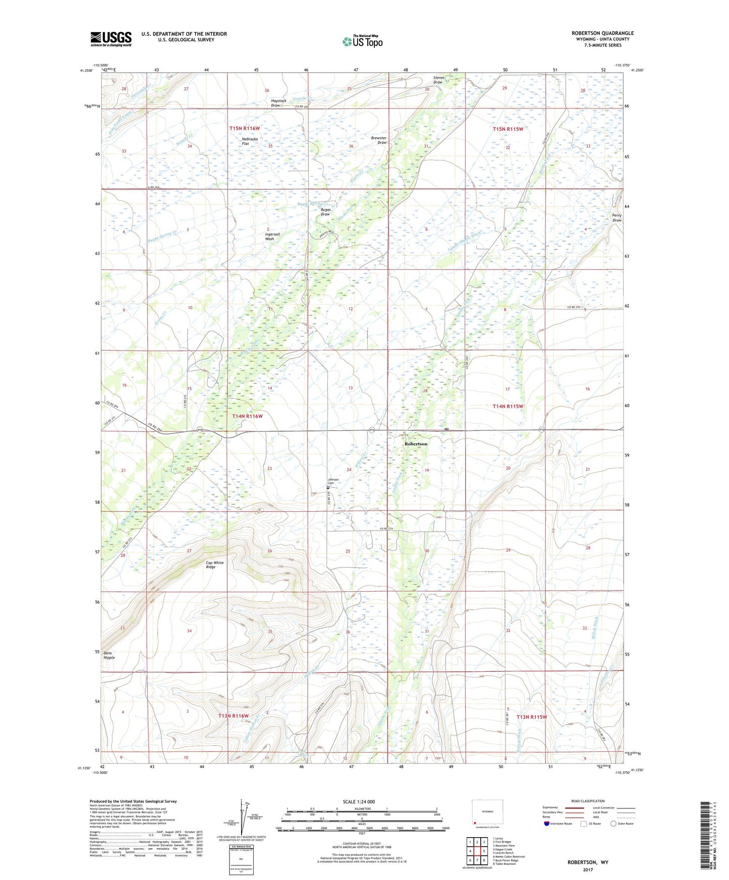
2021 topographic map quadrangle Robertson in the state of Wyoming. Scale: 1:24000. Based on the newly updated USGS 7.5' US Topo map series, this map is in the following counties: Uinta. The map contains contour data, water features, and other items you are used to seeing on USGS maps, but also has updated roads and other features. This is the next generation of topographic maps. Printed on high-quality waterproof paper with UV fade-resistant inks.
Quads adjacent to this one:
West: Hague Creek
Northwest: Leroy
North: Fort Bridger
Northeast: Mountain View
East: Leavitt Bench
Southeast: Table Mountain
South: Buck Fever Ridge
Southwest: Meeks Cabin Reservoir
This map covers the same area as the classic USGS quad with code o41110b4.
Contains the following named places: Botero Ditch, Brewster Draw, Bugas Draw, Bugas Spring Creek, Cap White Ridge, Cold Spring, Dans Nipple, Davis and Company Ditch, Evans Creek, Haystack Draw, Ingersoll Wash, Johnson Cemetery, Jones Creek, Lambs Supply Ditch, Nebraska Flat, Perry Draw, Pine Grove, Pine Grove Canal, Robertson, Robertson Census Designated Place, Robertson Post Office, Steves Draw, Willow Creek, Yellow Hollow Creek, ZIP Code: 82944


