MyTopo
Lost Springs Wyoming US Topo Map
Couldn't load pickup availability
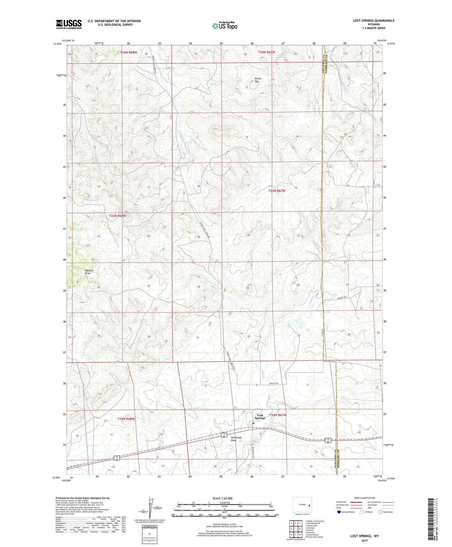
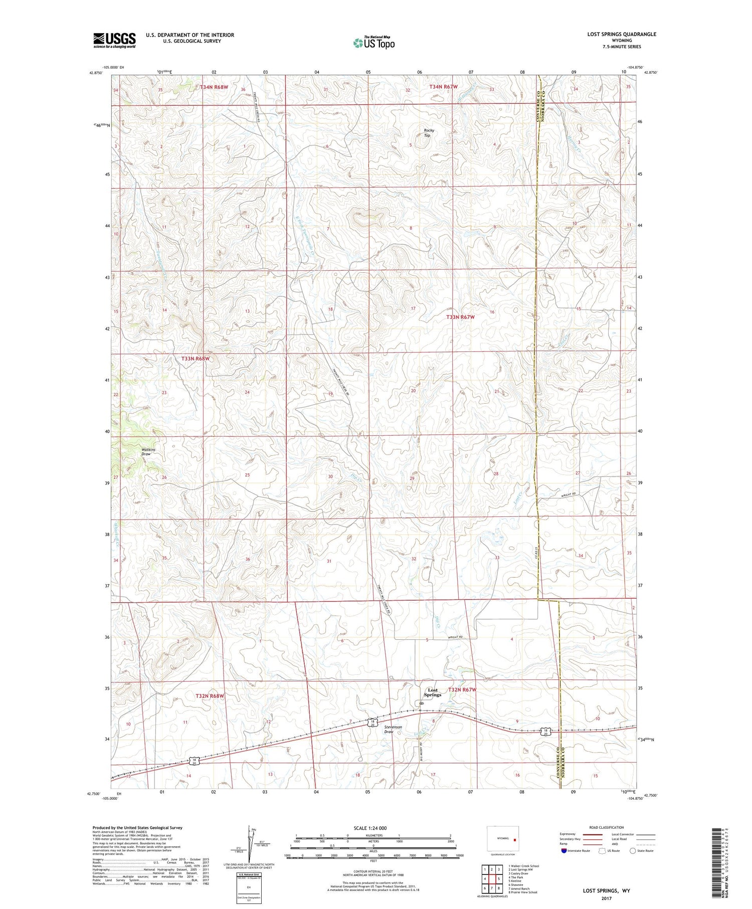
2021 topographic map quadrangle Lost Springs in the state of Wyoming. Scale: 1:24000. Based on the newly updated USGS 7.5' US Topo map series, this map is in the following counties: Converse, Niobrara. The map contains contour data, water features, and other items you are used to seeing on USGS maps, but also has updated roads and other features. This is the next generation of topographic maps. Printed on high-quality waterproof paper with UV fade-resistant inks.
Quads adjacent to this one:
West: The Park
Northwest: Walker Creek School
North: Lost Springs NW
Northeast: Cooley Draw
East: Keeline
Southeast: Prairie View School
South: Amend Ranch
Southwest: Shawnee
Contains the following named places: Dip Creek, Lost Springs, Lost Springs Post Office, Onion Mine, Rocky Top, Rosin Mine, Stevenson Draw, Town of Lost Springs, William Morcy Mine