MyTopo
McPherson Draw Wyoming US Topo Map
Couldn't load pickup availability
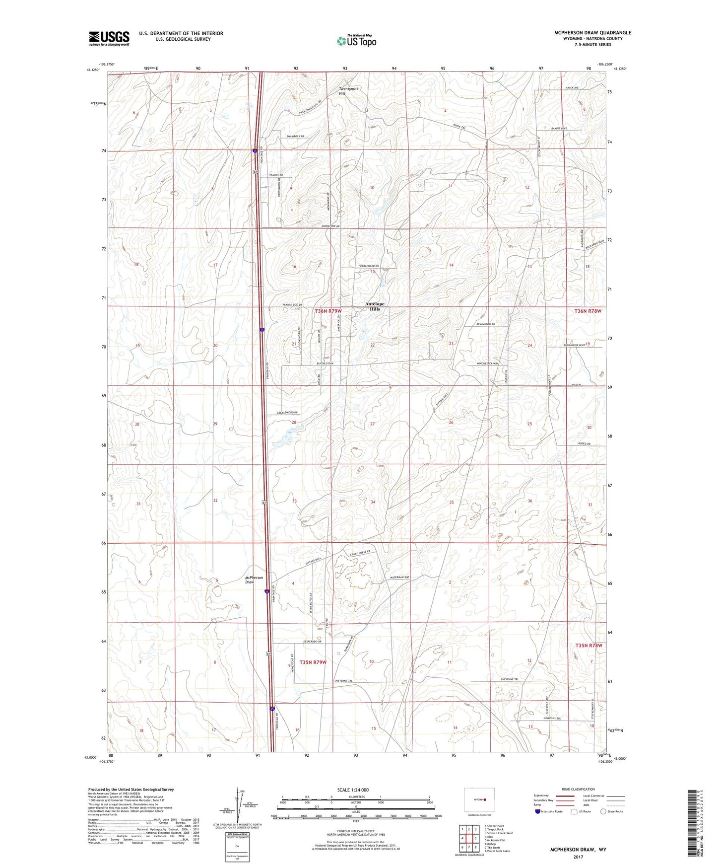
2021 topographic map quadrangle McPherson Draw in the state of Wyoming. Scale: 1:24000. Based on the newly updated USGS 7.5' US Topo map series, this map is in the following counties: Natrona. The map contains contour data, water features, and other items you are used to seeing on USGS maps, but also has updated roads and other features. This is the next generation of topographic maps. Printed on high-quality waterproof paper with UV fade-resistant inks.
Quads adjacent to this one:
West: Illco
Northwest: Statzer Point
North: Teapot Rock
Northeast: Seven L Creek West
East: McKenzie Flat
Southeast: Pratts Soda Lakes
South: The Reefs
Southwest: Bishop
This map covers the same area as the classic USGS quad with code o43106a3.
Contains the following named places: Antelope Hills, Antelope Hills Census Designated Place, McPherson Draw, Seventeenmile Well, Twentymile Hill