MyTopo
Mesa Spring Wyoming US Topo Map
Couldn't load pickup availability
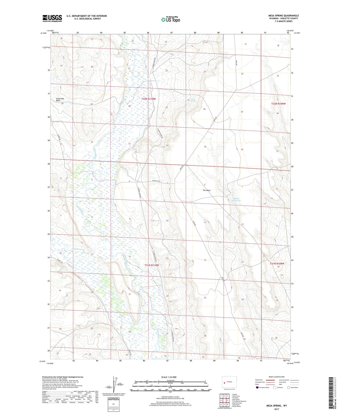
2021 topographic map quadrangle Mesa Spring in the state of Wyoming. Scale: 1:24000. Based on the newly updated USGS 7.5' US Topo map series, this map is in the following counties: Sublette. The map contains contour data, water features, and other items you are used to seeing on USGS maps, but also has updated roads and other features. This is the next generation of topographic maps. Printed on high-quality waterproof paper with UV fade-resistant inks.
Quads adjacent to this one:
West: Ball Island
Northwest: Daniel
North: Mount Airy
Northeast: Pinedale
East: Two Buttes Reservoir
Southeast: Olsen Ranch
South: Ross Butte
Southwest: Big Piney East
Contains the following named places: Bloom Reservoir, Cottonwood Creek, Harman Ditch, Hill Ditch, Luman Ditch, Luman Well, Mesa Spring, The Mesa