MyTopo
Two Buttes Reservoir Wyoming US Topo Map
Couldn't load pickup availability
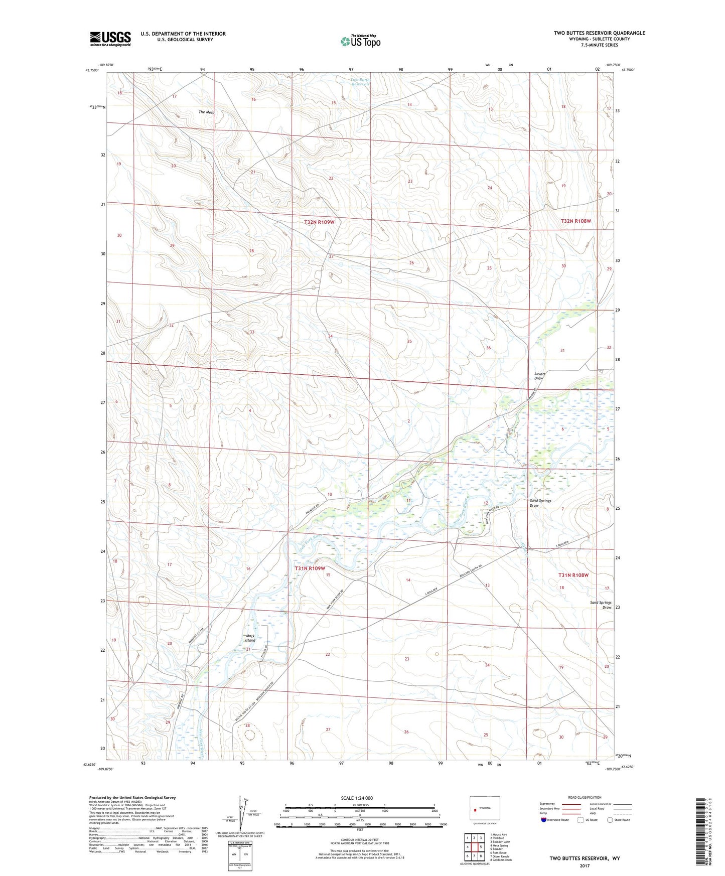
2021 topographic map quadrangle Two Buttes Reservoir in the state of Wyoming. Scale: 1:24000. Based on the newly updated USGS 7.5' US Topo map series, this map is in the following counties: Sublette. The map contains contour data, water features, and other items you are used to seeing on USGS maps, but also has updated roads and other features. This is the next generation of topographic maps. Printed on high-quality waterproof paper with UV fade-resistant inks.
Quads adjacent to this one:
West: Mesa Spring
Northwest: Mount Airy
North: Pinedale
Northeast: Boulder Lake
East: Boulder
Southeast: Gobblers Knob
South: Olsen Ranch
Southwest: Ross Butte
This map covers the same area as the classic USGS quad with code o42109f7.
Contains the following named places: Alkali Creek, Griffin Number 2 Ditch, Lovatt Draw, Mack Island, Sand Springs Draw, Two Buttes Draw, Two Buttes Reservoir