MyTopo
Miller Wyoming US Topo Map
Couldn't load pickup availability
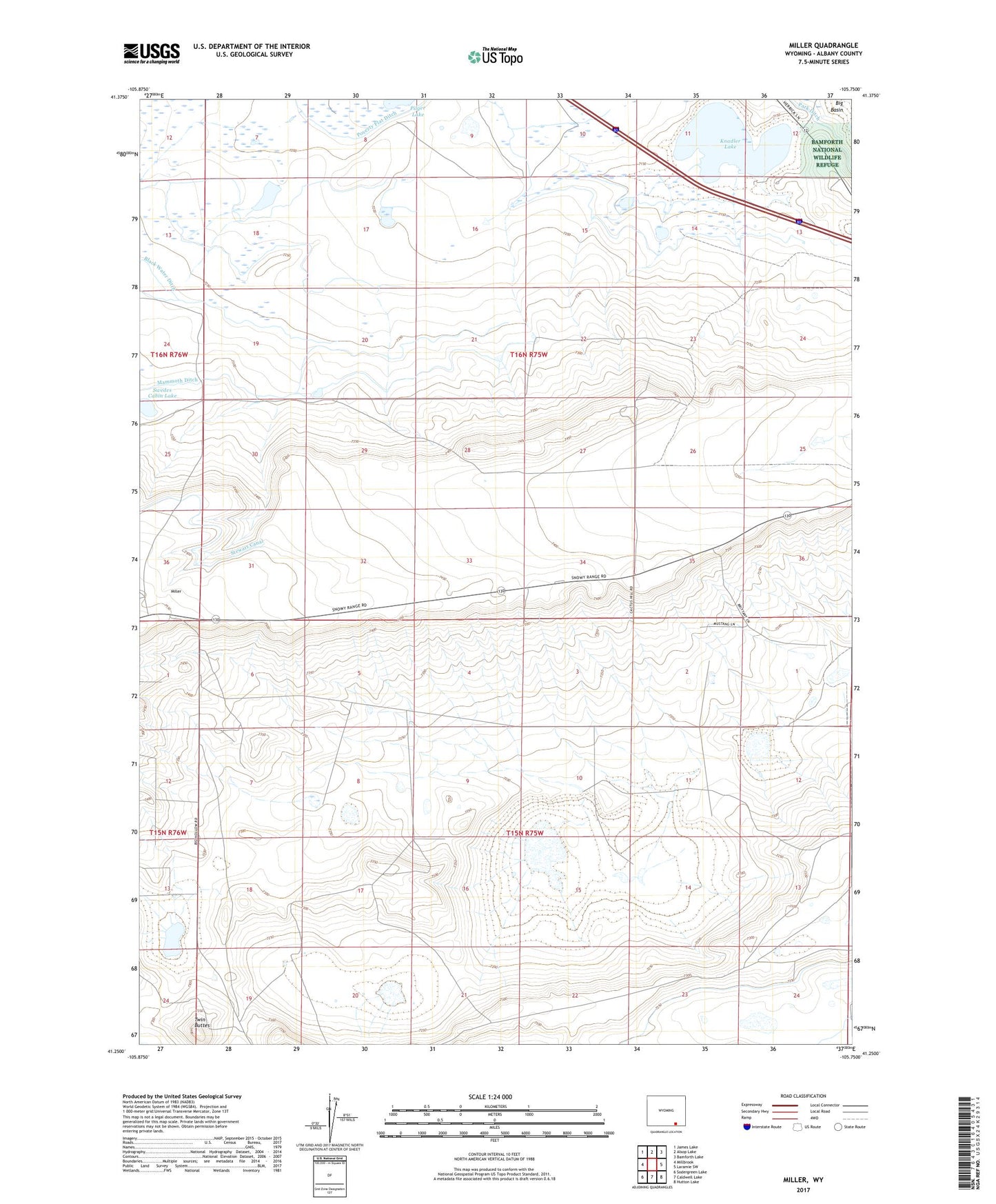
2021 topographic map quadrangle Miller in the state of Wyoming. Scale: 1:24000. Based on the newly updated USGS 7.5' US Topo map series, this map is in the following counties: Albany. The map contains contour data, water features, and other items you are used to seeing on USGS maps, but also has updated roads and other features. This is the next generation of topographic maps. Printed on high-quality waterproof paper with UV fade-resistant inks.
Quads adjacent to this one:
West: Millbrook
Northwest: James Lake
North: Alsop Lake
Northeast: Bamforth Lake
East: Laramie SW
Southeast: Hutton Lake
South: Caldwell Lake
Southwest: Sodergreen Lake
This map covers the same area as the classic USGS quad with code o41105c7.
Contains the following named places: Knadler Lake, Miller, Park Ditch, Pilger Lake, Poverty Flat Ditch, Swedes Cabin Lake, The Big Hollow, Twin Buttes, Windmill Ranch