
MyTopo
Myers Ranch Wyoming US Topo Map
Couldn't load pickup availability
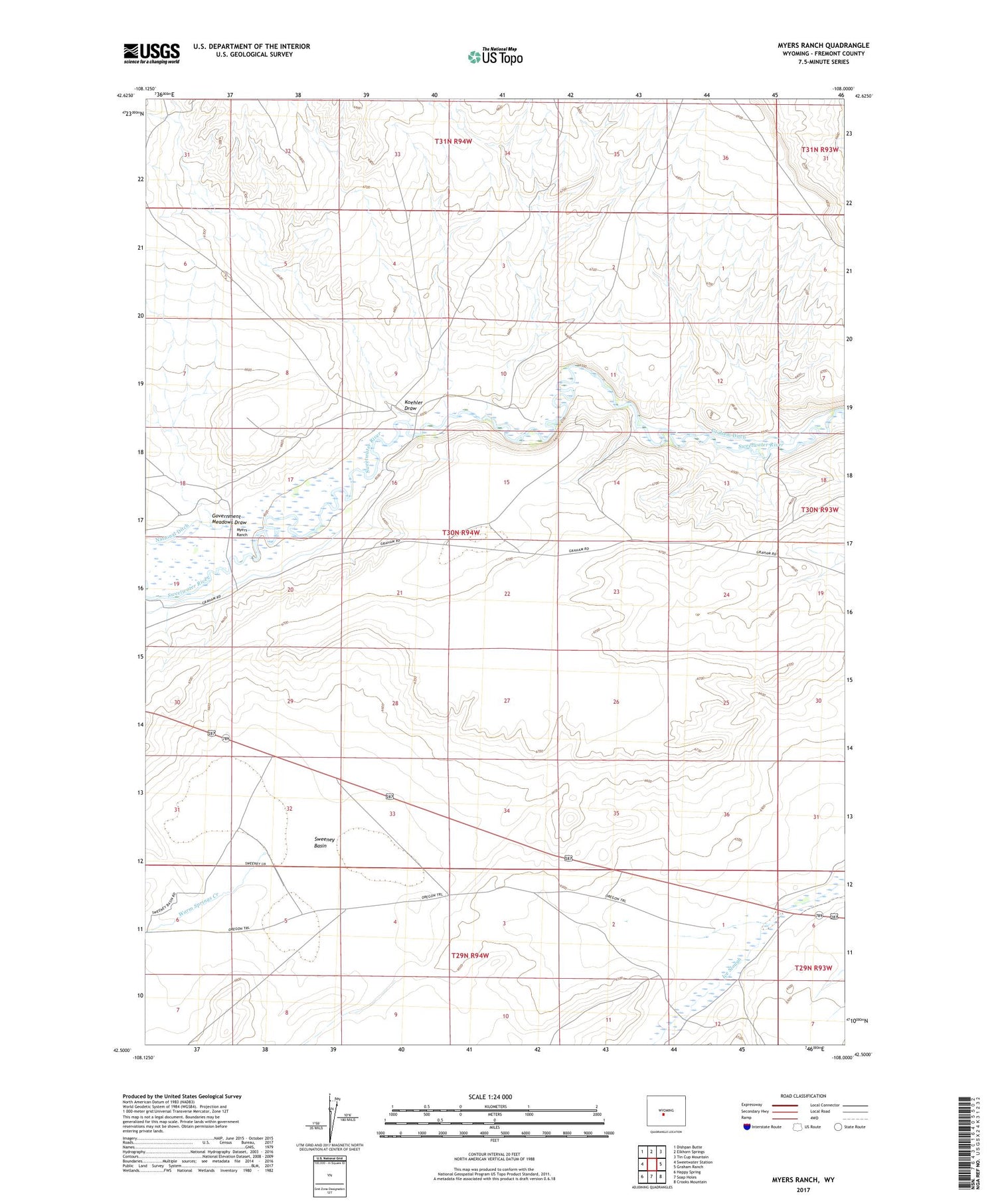
2021 topographic map quadrangle Myers Ranch in the state of Wyoming. Scale: 1:24000. Based on the newly updated USGS 7.5' US Topo map series, this map is in the following counties: Fremont. The map contains contour data, water features, and other items you are used to seeing on USGS maps, but also has updated roads and other features. This is the next generation of topographic maps. Printed on high-quality waterproof paper with UV fade-resistant inks.
Quads adjacent to this one:
West: Sweetwater Station
Northwest: Dishpan Butte
North: Elkhorn Springs
Northeast: Tin Cup Mountain
East: Graham Ranch
Southeast: Crooks Mountain
South: Soap Holes
Southwest: Happy Spring
Contains the following named places: Government Meadows Draw, Graham Ditch, Koehler Draw, Myers Ranch, Myersville, Scarlett Ranch, Sweeney Basin, Warm Springs Creek


