MyTopo
Dishpan Butte Wyoming US Topo Map
Couldn't load pickup availability
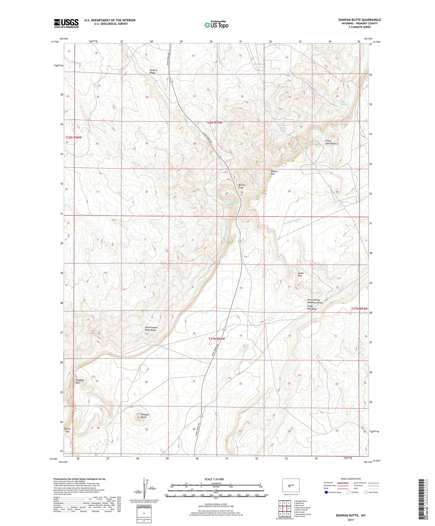
2021 topographic map quadrangle Dishpan Butte in the state of Wyoming. Scale: 1:24000. Based on the newly updated USGS 7.5' US Topo map series, this map is in the following counties: Fremont. The map contains contour data, water features, and other items you are used to seeing on USGS maps, but also has updated roads and other features. This is the next generation of topographic maps. Printed on high-quality waterproof paper with UV fade-resistant inks.
Quads adjacent to this one:
West: Yellowstone Ranch
Northwest: Bringolf Ranch
North: Sand Draw
Northeast: Blue Gulch
East: Elkhorn Springs
Southeast: Myers Ranch
South: Sweetwater Station
Southwest: Red Canyon
This map covers the same area as the classic USGS quad with code o42108f2.
Contains the following named places: Bear Spring, Bearspring Area Mine, Beaver Divide Mine, Cedar Rim, Cedar Rim Draw, Devils Gap, Dishpan Butte, Franciscan Claims, Government Meadows Windmill, KTAK-FM (Riverton), KTRZ-FM (Riverton), O'Brien Spring, Prodigy Hill, Wagon Bed Spring, Zelda Mine