MyTopo
Sweetwater Station Wyoming US Topo Map
Couldn't load pickup availability
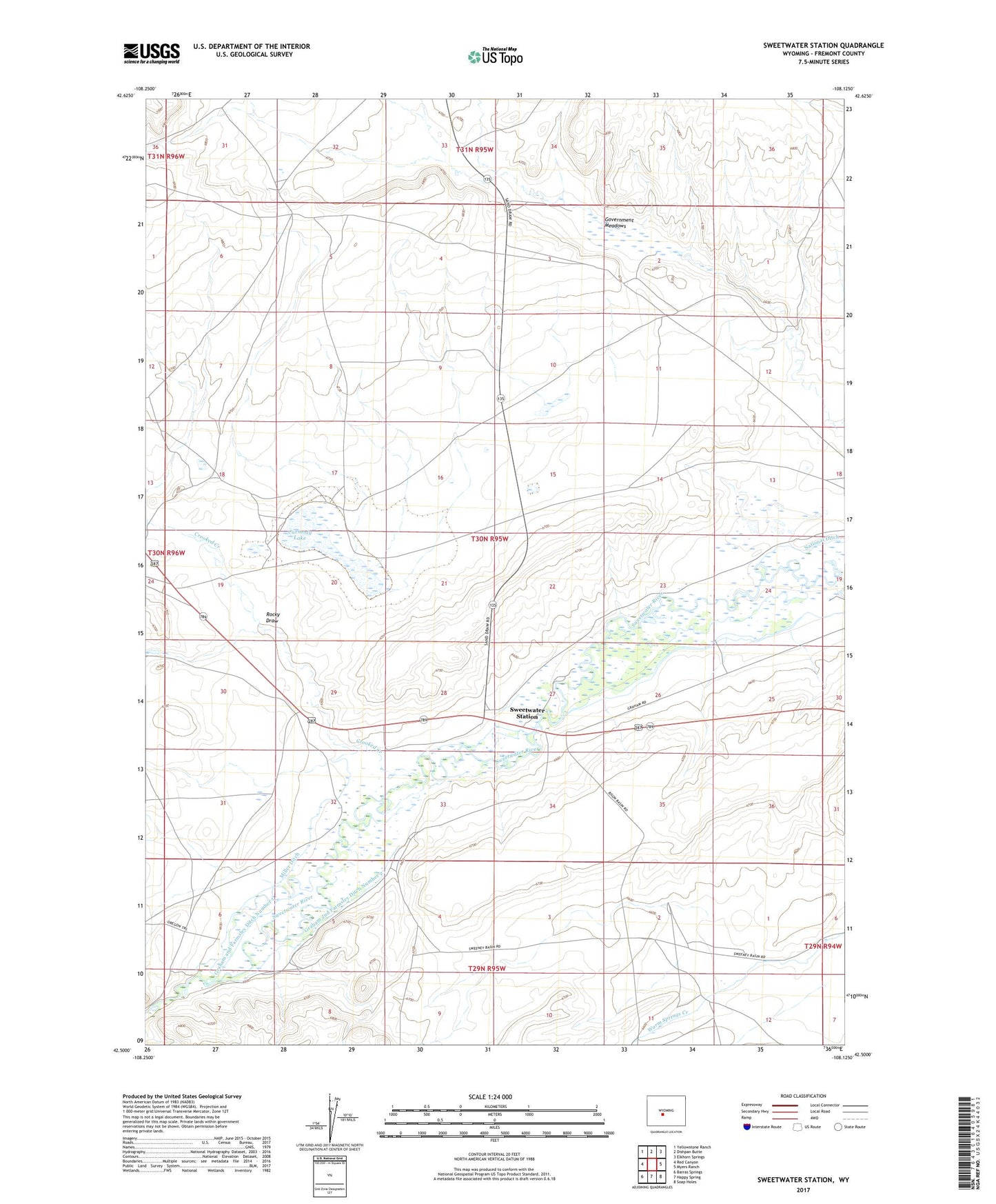
2021 topographic map quadrangle Sweetwater Station in the state of Wyoming. Scale: 1:24000. Based on the newly updated USGS 7.5' US Topo map series, this map is in the following counties: Fremont. The map contains contour data, water features, and other items you are used to seeing on USGS maps, but also has updated roads and other features. This is the next generation of topographic maps. Printed on high-quality waterproof paper with UV fade-resistant inks.
Quads adjacent to this one:
West: Red Canyon
Northwest: Yellowstone Ranch
North: Dishpan Butte
Northeast: Elkhorn Springs
East: Myers Ranch
Southeast: Soap Holes
South: Happy Spring
Southwest: Barras Springs
This map covers the same area as the classic USGS quad with code o42108e2.
Contains the following named places: Antelope Creek, Carmody Lake, Countryman Ranch, Crooked Creek, Flagg Ranch, Government Meadows, Graham and Farmsley Ditch Number 1, Graham and Farmsley Ditch Number 2, Independent Ditch, Jamerman Ranch, Miller Ditch, National Ditch, Rocky Draw, Slide Windmill, Sweetwater Crossing, Sweetwater Station